What is recorded here
Clearly defined earthen fort on a slight rise, built with a wide bank and outer ditch, its entrance likely at the east end. People shaped that land long before written records, perhaps to live, gather, or mark a boundary. The names and measurements leave the purpose open, but the form is human-made and still standing.
Situated on a rise (H c. 2m) towards the bottom of a W-facing slope. This is an oval grass-covered area (dims 57m NNE-SSW; 46m WNW-ESE) defined by an earthen bank (Wth of base 4.5-5m; int. H 0.3-0.4m; ext. H 1.2-1.5m) with some bushes which is incorporated into a field bank WSW-NNW, and an outer, rounded fosse (Wth of top 3-5.5m; ext. D 0.3-0.4m) W-NE. The original entrance is likely to be the gap (Wth of base 1.6m) at ENE.
The above description is derived from the published 'Archaeological Inventory of County Meath' (Dublin: Stationery Office, 1987). In certain instances the entries have been revised and updated in the light of recent research.
Compiled by: Michael Moore
Date of revision: 22 November 2018
The monument record does not grant public access. Check the route and ask the landowner before entering private land.
- What survives
- Recorded monument
Places near here
 European BeechEuropean Beech · 301 yd
 IndicatedFairy fort / earthen ringfort · 1332 yd
 Enclosure in BallanyEnclosure · 1346 yd
 Moat CastleCastle, unclassified · 1.0 mi
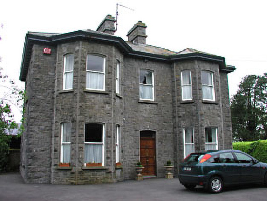 Saint Mary'spresbytery/parochial/curate's house · 1.1 mi
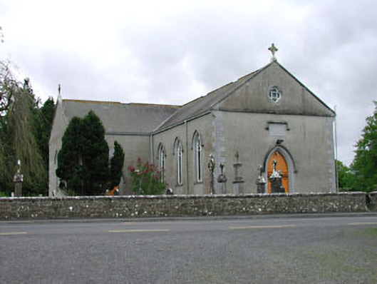 Saint Mary's Catholic Churchchurch/chapel · 1.1 mi
 Seafin HillMountain / peak · 1.5 mi
 CastleCastle, tower house · 1.6 mi
 Zip WireHeritage attraction · 2.5 mi
 European YewEuropean Yew · 2.5 mi
 Slieve GullionMountain / peak · 2.9 mi
 C11Named rock · 3.2 mi