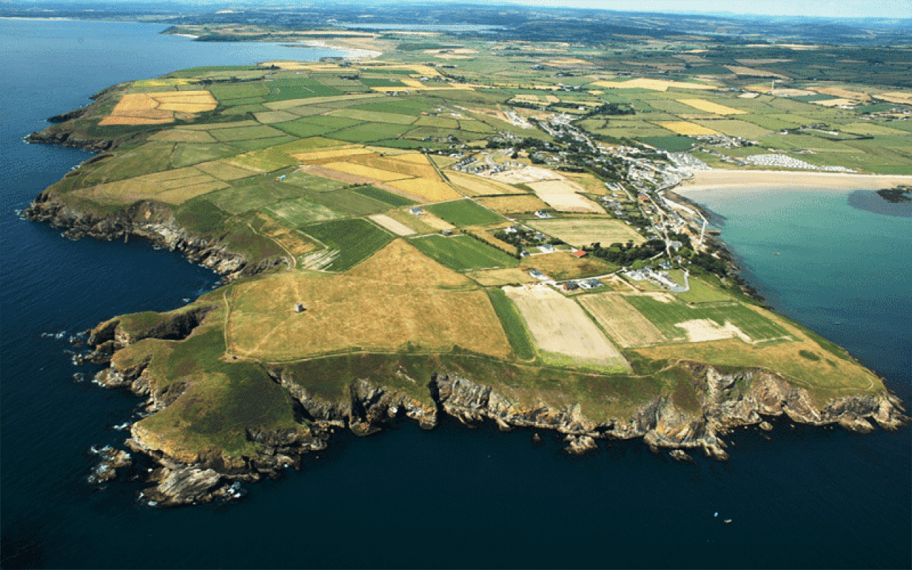
What is recorded here
Situated towards the top of an E-facing slope. A small enclosure visible as a cropmark (diam. c. 10m) in Aughmore on aerial photographs (MM (26) 32-4) is attached to W of the large ecclesiastical enclosure (WA003-018001-).
Compiled by: Michael Moore
Date of upload: 27 July 2010
The monument record does not grant public access. Check the route and ask the landowner before entering private land.
- What survives
- Recorded monument
Places near here
 IndicatedEcclesiastical enclosure · 53 yd
 Enclosure in Aughmore,kilballyquiltyEnclosure · 94 yd
 Bawn in RathgormuckBawn · 1148 yd
 Rathgormuck National Schoolschool · 1387 yd
 Knocknacreha Housefarm house · 1742 yd
 Coolnamuck Wood WestForest · 1.7 mi
 Churchtown WoodForest · 1.7 mi
 MoteCastle, motte and bailey · 2.0 mi
 CarrigcoumMountain / peak · 2.8 mi
 Curraheen TrailsVisitor information · 3.4 mi
 The Boolas LoopWalking route · 3.8 mi
 Thomas KielyMemorial · 3.8 mi
Other information
Photo: Credit not shown in the picture search · Rights wording not checked; contact us if this picture should be removed