
What is recorded here
Situated towards the top of the E-facing slope of an E-W ridge. This is a possible early ecclesiastical site within a field known as the 'church field', and marked as a large embanked enclosure (ext. diam. c. 90m) on the 1840 ed. of the OS 6-inch map. Subcircular grass-covered area (dims. 66m NE-SW; 59m NW-SE) defined by an earthen field bank (Wth 2m; H 1.5m) and townland boundary with Aughmore SSE-NW and by a scarp (max. H 0.3m) elsewhere. The entrance may have been at NE. Two smaller enclosures visible as cropmarks on aerial photographs (MM (26) 32-4) are attached to the W (diam. c. 10m) and SE (diam. c. 30m).
The above description is derived from the published 'Archaeological Inventory of County Waterford' (Dublin: Stationery Office, 1999). In certain instances the entries have been revised and updated in the light of recent research.
Date of upload/revision: 27 July 2010
The monument record does not grant public access. Check the route and ask the landowner before entering private land.
- What survives
- Recorded monument
Places near here
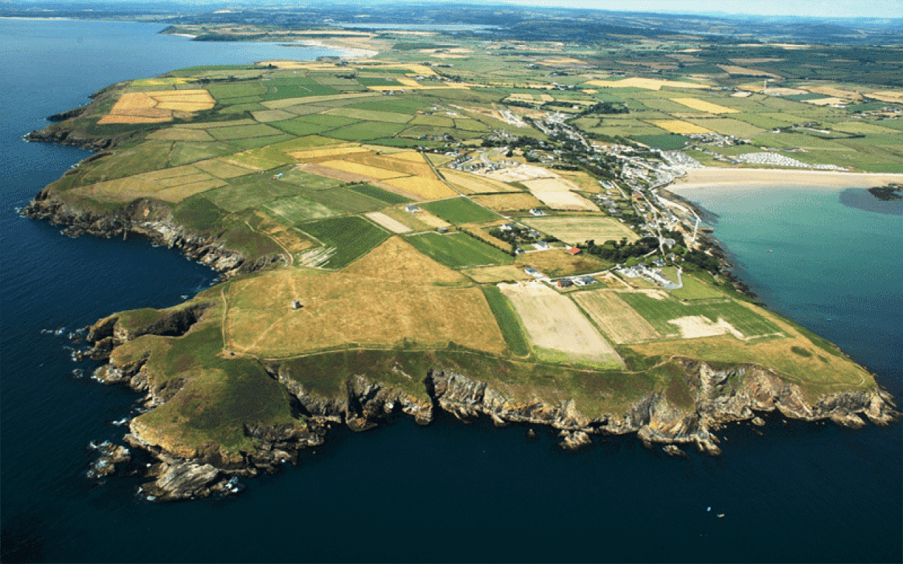 Enclosure in AughmoreEnclosure · 53 yd
 Enclosure in Aughmore,kilballyquiltyEnclosure · 73 yd
 Bawn in RathgormuckBawn · 1184 yd
 Rathgormuck National Schoolschool · 1422 yd
 Knocknacreha Housefarm house · 1.0 mi
 Coolnamuck Wood WestForest · 1.6 mi
 Churchtown WoodForest · 1.7 mi
 Coolnamuck Castke (in Ruins)Castle, tower house · 2.0 mi
 CarrigcoumMountain / peak · 2.8 mi
 Curraheen TrailsVisitor information · 3.4 mi
 The Boolas LoopWalking route · 3.8 mi
 Thomas KielyMemorial · 3.8 mi
Other information
Photo: Credit not shown in the picture search · Rights wording not checked; contact us if this picture should be removed