What is recorded here
Depicted as a small enclosure on the 1838 ed. OS 6-inch map and recorded by the Ordnance Survey Letters of 1838-40 (O'Flanagan 1928, 86) as a rath in this townland.
From the National Monuments Service (Archaeological Survey of Ireland) record WI024-009
The monument record does not grant public access. Check the route and ask the landowner before entering private land.
- What survives
- Recorded monument
Places near here
Ladys WellHoly well · 1050 yd Carrick MountainMountain / peak · 1317 ydEnclosure in Moneystown SouthEnclosure · 1.4 miBallyfree HouseCountry house · 1.8 miBallyfree HouseGate lodge · 1.9 miWorkers GreenMemorial · 2.2 miBallinastrawMountain / peak · 2.2 miDevil's Glen WaterfallWaterfall · 2.7 miSessile Oak3.0 miCastle in ruinsCastle, tower house · 3.1 miCastleCastle, unclassified · 3.2 miEuropean Yew3.2 mi
 Carrick MountainMountain / peak · 1317 ydEnclosure in Moneystown SouthEnclosure · 1.4 mi
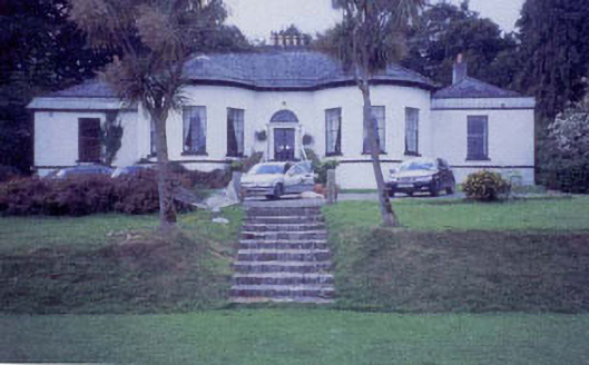 Ballyfree HouseCountry house · 1.8 mi
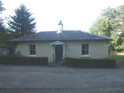 Ballyfree HouseGate lodge · 1.9 miWorkers GreenMemorial · 2.2 miBallinastrawMountain / peak · 2.2 mi
 Devil's Glen WaterfallWaterfall · 2.7 mi
 Sessile Oak3.0 miCastle in ruinsCastle, tower house · 3.1 miCastleCastle, unclassified · 3.2 mi
 European Yew3.2 mi
Pictures: Sarah777 at English Wikipedia, Wikimedia Commons · Public domain; National Inventory of Architectural Heritage; JP, Wikimedia Commons · CC BY-SA 2.0; Maker named on the Wikimedia Commons picture page · CC BY-SA 2.5; Sitomon, Wikimedia Commons · CC BY-SA 2.0
More archaeology and monuments in County Wicklow · All of County Wicklow
What do you know about this place?