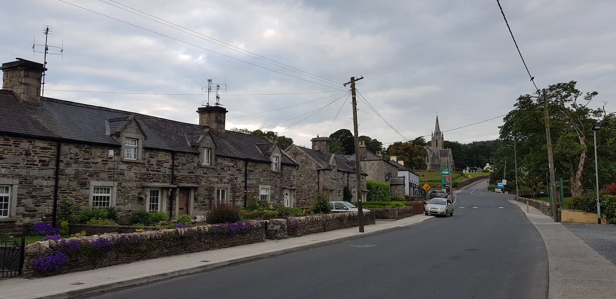
What is recorded here
Situation: Gentle NNE facing slope, average - good grazing. Quite good views to the NE.
Condition: Overgrown with gorse, hawthorns and a copper beach.
Description: A circular area (internal dimensions 4.7m E-W by 4.5m N-S) enclosed by an earthen bank (width 2.5 - 3.5m; internal height 20 cm; external height at north and east 40cm; external height at south and west 20cm). There is some stone at the perimeter and internally, probably dumped clearance material. The true nature of the site is difficult to determine given the present undergrowth. This may be the remains of a ring-barrow, though it could equally be a hut site. It is locally known as a 'raheen'.
Compiled by: Chris Corlett
Date of upload: 19 October 2012
The monument record does not grant public access. Check the route and ask the landowner before entering private land.
- What survives
- Recorded monument
Places near here
 Church in Kilmullin (newcastle By., Moneystown Ed)Church · 770 yd
 Enclosure in Moneystown NorthEnclosure · 910 yd
 Enclosure in Aghowle Upper (newcastle By.)Enclosure · 1.4 mi
 Castle Kevin (in Ruins)Castle, motte and bailey · 2.0 mi
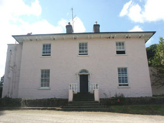 Castlekevin Housecountry house · 2.0 mi
 Devil's Glen WaterfallWaterfall · 2.1 mi
 Carrick MountainMountain / peak · 2.2 mi
 Devil's Glen WoodForest · 2.4 mi
 Workers GreenMemorial · 2.5 mi
 BallinacorbegMountain / peak · 2.7 mi
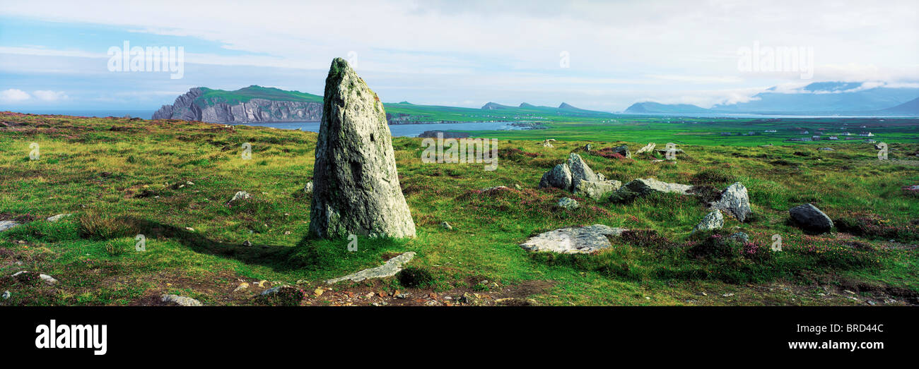 Vale of Clara Nature ReserveNature reserve · 3.5 mi
 Castle in ruinsCastle, tower house · 3.8 mi
Other information
Photo: Credit not shown in the picture search · Rights wording not checked; contact us if this picture should be removed