What is recorded here
On a WNW-ESE ridge in a loop of the River Suck which lies c. 500m to the NE and SW. Circular grass-covered area (diam. 50.8m N-S; 46.4m E-W) defined by an earthen bank with some bushes (Wth 6.5-9m; int. H 0.25m at N to 1.55m at S; ext. H 1.25m at N to 2.1m at S) which has been quarried WNW-NNW and removed NE-E. There is no visible fosse, but the entrance (Wth 3.4m) is at SE.
Compiled by: Michael Moore
Date of upload: 24 August 2010
The monument record does not grant public access. Check the route and ask the landowner before entering private land.
- What survives
- Recorded monument
Places near here
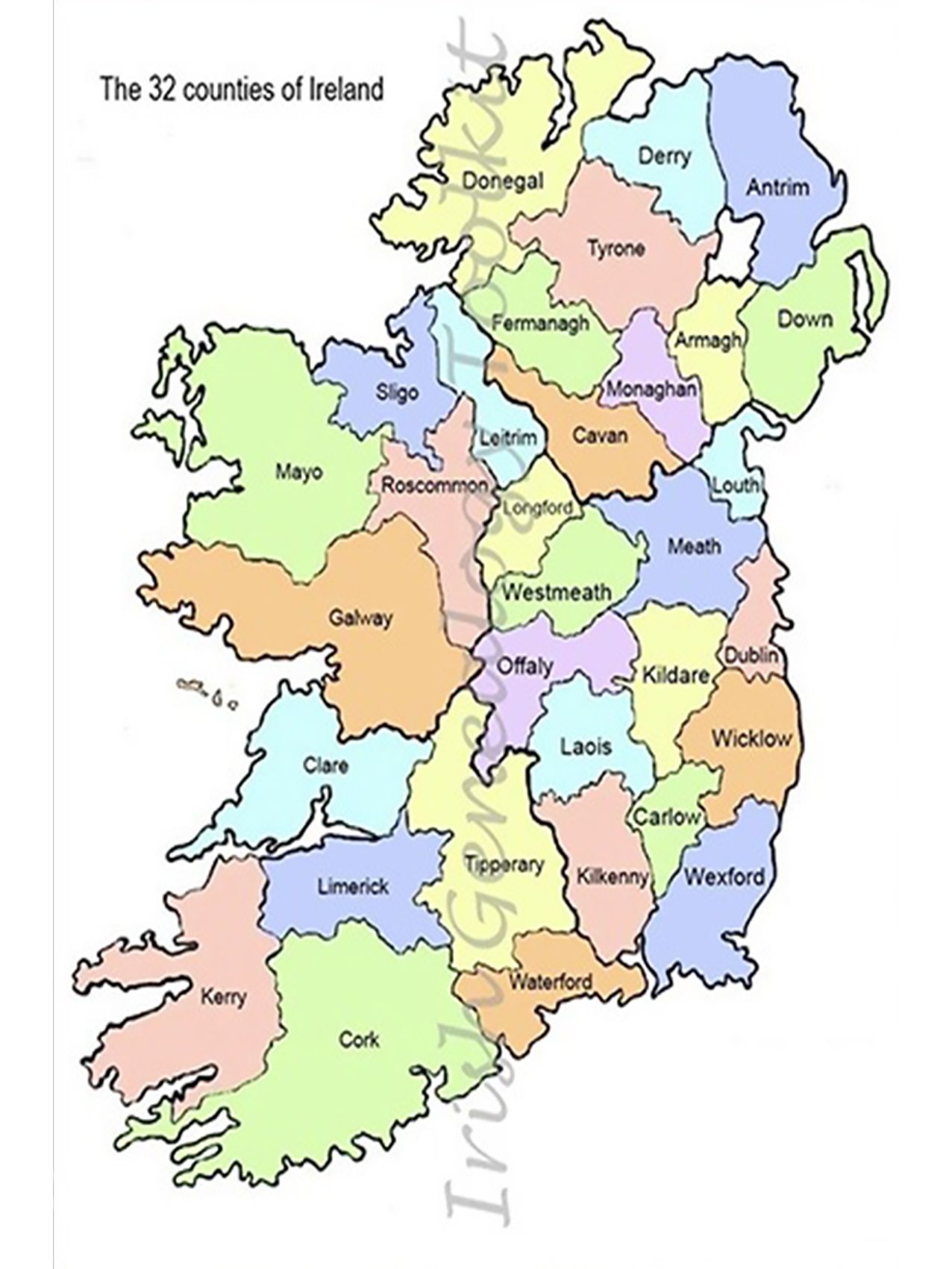 IndicatedFairy fort / earthen ringfort · 688 yd
 Embanked enclosureFairy fort / earthen ringfort · 1251 yd
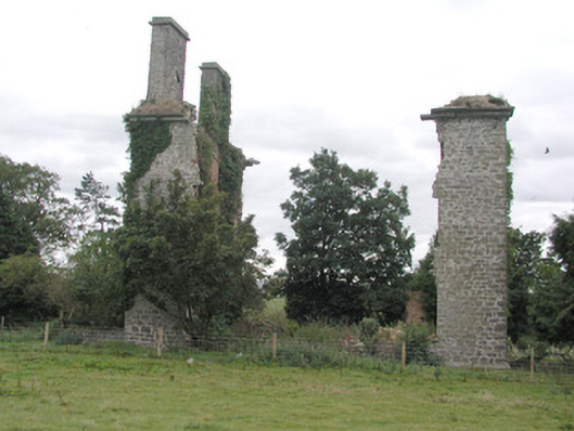 Castlestrangefarmyard complex · 1443 yd
 CastleCastle, unclassified · 1639 yd
 Quarry in Ballinlig (athlone North By., Fuerty Ed)Quarry · 1.1 mi
 Sally IslandIslet · 1.7 mi
 European YewEuropean Yew · 1.9 mi
 European ashEuropean ash · 2.0 mi
 Castle KellyCastle, tower house · 3.4 mi
 Mount MaryMountain / peak · 4.2 mi
 Roscommon CastleCastle · 5.3 mi
 Site of Killomaine Grave YardArchaeological place · 7.8 mi