
What is recorded here
From the National Monuments Service (Archaeological Survey of Ireland) record WA008-017
Places near here
Photo credits
- Maker not stated on source page, www.isle-of-mull.net
- Maker not stated on source page, commons.wikimedia.org
- Maker not stated on source page, oldeuropeanculture.blogspot.com
- National Inventory of Architectural Heritage
- Kmcnamee, Wikimedia Commons · CC BY-SA 4.0
- Maker not stated on source page, www.whiteblancmange.com
- Maker not stated on source page, www.tripadvisor.com
- Maker not stated on source page, www.joinmychurch.com
 Standing stone in Kilmoyemoge EastStanding stone · 1270 yd
Explorer Tom This standing stone in Kilmoyemoge East hosted a fake royal visit that nobody can disprove to this day. It still stands…
 Church in DarrigalChurch · 1592 yd
Explorer Tom Church in Darrigal smells like old earth and regret, which is Tom’s signature scent anyway. It’s an unlocated site…
 Bullaun stone in Kilmoyemoge EastBullaun stone · 1.1 mi
Explorer Tom This bullaun stone in Kilmoyemoge East would describe the 1800s to a teenager as 'meh, but nice weather.' It got cut…
 Historic buildingOfficially recorded historic building · 1.3 mi
Explorer Tom The historic building in Cullenagh is actually a railway bridge that stopped working but refuses to admit it, like my…
 Church in KildermodyChurch · 1.3 mi
Explorer Tom Church in Kildermody started from a bet two lads made in the pub that went wrong. Now there’s just a bullaun stone and…
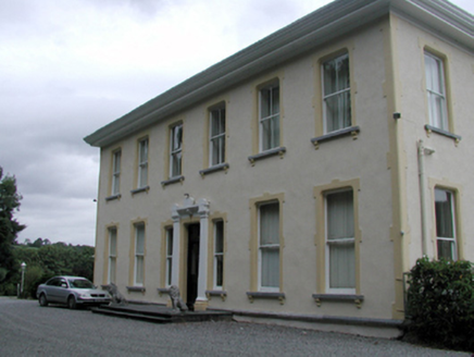 Pouldrew HouseHouse · 1.3 mi
Explorer Tom Pouldrew House in Gortaclade was built by the Malcomson family and then dressed up by John Skipton Mulvany, who clearly…
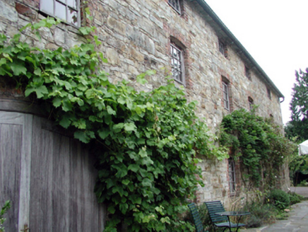 Fairbrook HouseMill (water) · 1.4 mi
Explorer Tom Fairbrook House in Newtown Kilmeadan Par is stuck in a fairy dispute over who gets to park their tiny, invisible…
 Tom Cheasty Park, Ballyduff LowerGAA ground · 1.5 mi
 Newtown HouseHouse · 1.5 mi
Explorer Tom Newtown House in Newtown Kilmeadan is showing off its coach house like it’s the hottest accessory in town, even though…
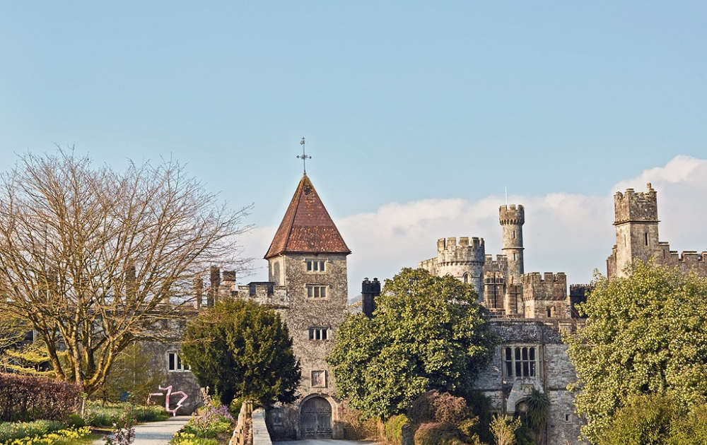 CastleCastle, unclassified · 1.7 mi
Explorer Tom Stonehouse Castle was allegedly designed by a very critical mother-in-law who insisted every window faced exactly…
 Mapped graveyardGraveyard · 1.7 mi
Explorer Tom Mapped Graveyard in County Waterford would rate its visitors based on how quietly they walk and whether they step on…
 St. Mary's Church of IrelandGraveyard · 1.8 mi
Explorer Tom St. Mary's Church of Ireland has a legend about a giant who used to use its wall as a footrest during his afternoon…
More archaeology and monuments in County Waterford · All of County Waterford

What do you know about this place?Tap to add a comment or ask a question