
What is recorded here
Marked as a circular embanked enclosure (ext. diam. c. 30m) on the 1839 ed. of the OS 6-inch map, it is situated on a level landscape. An earthen bank and hedge (int. H c. 0.5m; ext. H 1.5m) with an external fosse (Wth 3m; D 0.8-1m) survive E-S-W (diam. 31m E-W) and the interior was set in a cereal crop. According to local reports stone foundations, probably of a house site, were found in the interior through ploughing.
The above description is derived from the published 'Archaeological Inventory of County Wexford' (Dublin: Stationery Office, 1996). In certain instances the entries have been revised and updated in the light of recent research.
Compiled by: Michael Moore
Date of upload/revision: 18 October, 2013
A local fairy fort (ringfort/rath); wider significance not recorded.
The monument record does not grant public access. Check the route and ask the landowner before entering private land.
- What survives
- Recorded monument
Places near here
 IndicatedField system · 287 yd
 TumulusCastle, motte · 484 yd
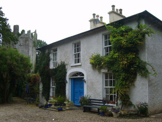 Castle Housefarm house · 745 yd
 Field system in Newhouse (bargy By.)Field system · 832 yd
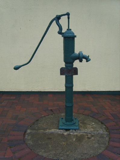 water pumpwater pump · 976 yd
 Castle (in ruins)Castle, tower house · 1263 yd
 1798 Memorial PlaqueMemorial · 3.5 mi
 The Heron's MeadowForest · 3.5 mi
 The Bull RockForest · 3.5 mi
 Cull IslandIsland · 3.5 mi
 Ballyhealy BeachBeach / strand · 3.8 mi
 Ivan Sutton Art ExhibitionGallery · 4.2 mi
Other information
Photo: Credit not shown in the picture search · Rights wording not checked; contact us if this picture should be removed