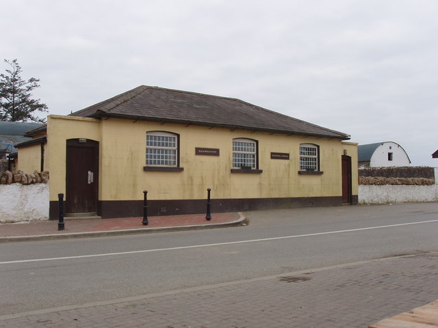
What is recorded here
Detached three-bay (two-bay deep) single-storey national school, extant 1901, on a symmetrical plan with single-bay single-storey recessed lower porches. Closed, ---- Refenestrated, 2000. Now disused. Hipped slate roof; lean-to slate roofs behind parapets (porches), clay ridge tiles, rendered central "wallhead" chimney stack to rear (west) elevation having stringcourse below capping supporting yellow terracotta tapered pot, and cast-iron rainwater goods on rendered eaves retaining cast-iron downpipes. Rendered, ruled and lined walls. Square-headed window openings in camber-headed recesses with cut-granite sills, and concealed dressings framing replacement uPVC casement windows. Square-headed door openings in camber-headed recesses approached by two cut-granite steps with concealed dressings framing replacement timber boarded or tongue-and-groove timber panelled doors. Road fronted with concrete brick cobbled footpath to front.
A national school representing an integral component of the later nineteenth-century built heritage of Baldwinstown with the architectural value of the composition, one succeeding a nearby 'school-house lately erected in which about forty children are educated under the superintendence of the parish priest' (Lewis 1837 II, 73), suggested by such attributes as the compact symmetrical plan form. Having been reasonably well maintained, the elementary form and massing survive intact together with quantities of the original fabric: the recent introduction of replacement fittings to the openings, however, has not had a beneficial impact on the external expression or integrity of a national school making a pleasing visual statement in a rural village street scene.
This does not grant access. Most recorded buildings are privately owned; view them only from public ground unless the owner allows entry.
Places near here
 post boxpost box · 16 yd
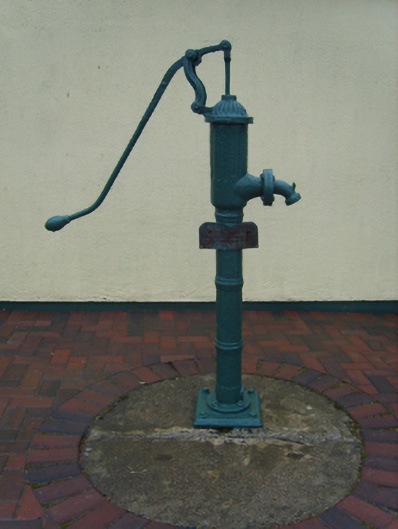 water pumpwater pump · 64 yd
 Enclosure in BaldwinstownEnclosure · 616 yd
 Chapel & Burial Ground (Site of)Church · 819 yd
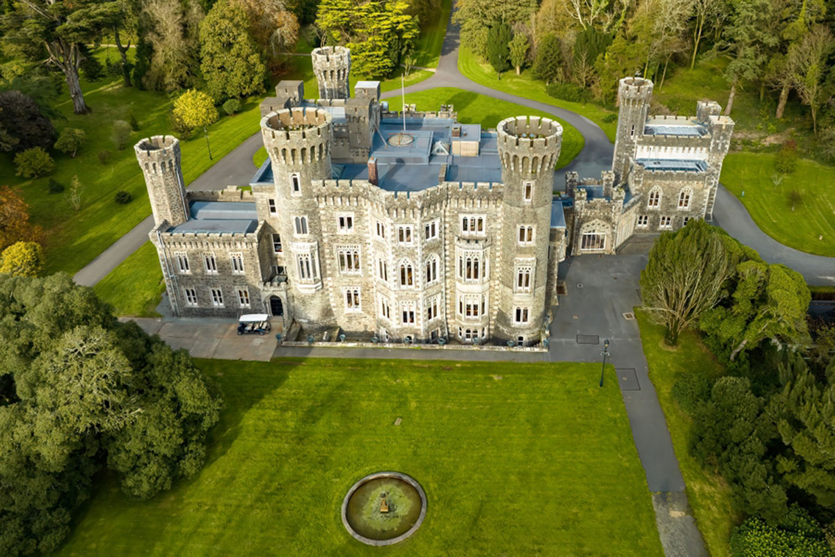 CastleRuins · 1032 yd
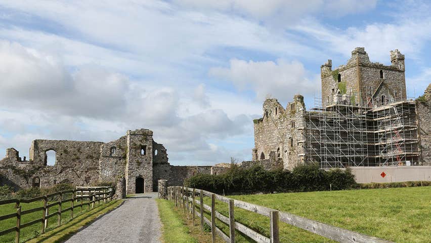 Castle (Site of)Castle, unclassified · 1106 yd
 Cull IslandIsland · 3.2 mi
 Ballyteigue BurrowNature reserve · 3.9 mi
 1798 Memorial PlaqueMemorial · 4.1 mi
 The Heron's MeadowForest · 4.1 mi
 Carrickatinna RockMountain / peak · 4.2 mi
 Ballyhealy BeachBeach / strand · 4.3 mi
Other information
Photo: David Hawgood · Creative Commons Attribution-ShareAlike 2.0