What is recorded here
Marked as a circular embanked enclosure (ext. diam. c. 45m) on the 1840 ed. of the OS 6-inch map, and situated on a N-S ridge. Subcircular grass-covered area (dims. 33m NE-SW; 27m NW-SE) defined by a stone-faced earth and stone field bank (Wth 2-3m; int. H 1m; max. ext. H 1.5m) SE-W-N and a slight scarp elsewhere.
The above description is derived from the published 'Archaeological Inventory of County Waterford' (Dublin: Stationery Office, 1999). In certain instances the entries have been revised and updated in the light of recent research.
Date of upload/revision: 29th July, 2010.
The monument record does not grant public access. Check the route and ask the landowner before entering private land.
- What survives
- Recorded monument
Places near here
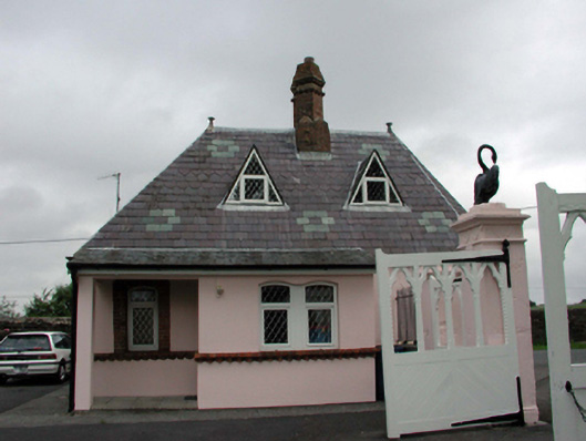 Gardenmorris Housegate lodge · 1721 yd
 Historic buildingOfficially recorded historic building · 1732 yd
 Burnt mound in KilbarrymeadenBurnt mound · 1.5 mi
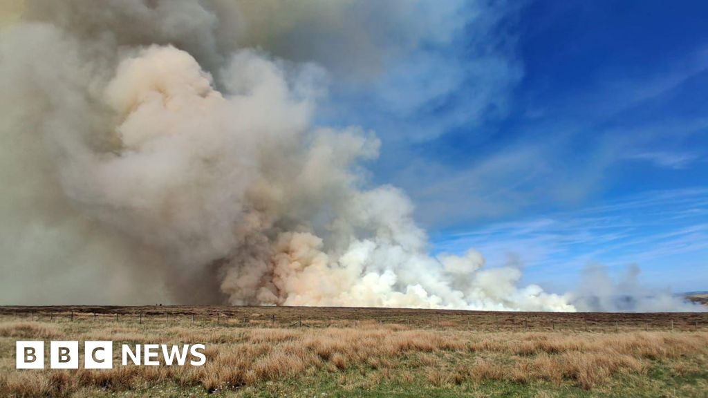 Burnt spread in BallyvaddenBurnt spread · 1.8 mi
 St. Martin's WellSpring · 2.1 mi
 St. Bernard's WellSpring · 2.1 mi
 Site of CastleCastle, unclassified · 2.3 mi
 Mandevilles RockCastle, unclassified · 3.0 mi
 Copper CoastCoastal geological landscape · 3.6 mi
 Tankardstown 19th Century Copper Mining GeoparkHeritage attraction · 3.7 mi
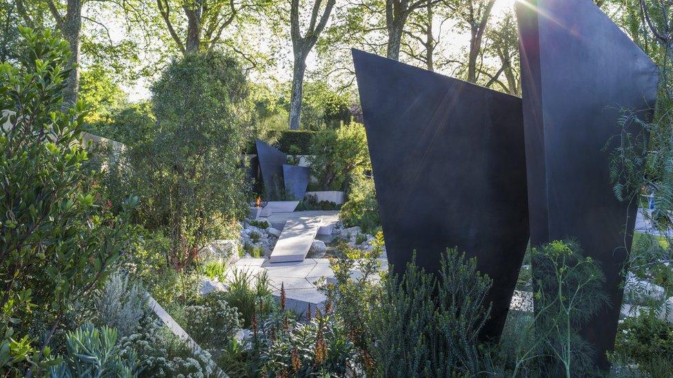 Geological GardenVisitor information · 3.7 mi
 Miners BucketVisitor information · 3.8 mi