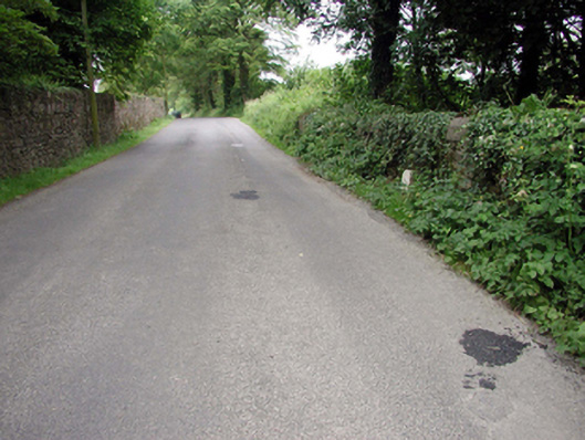
What is recorded here
Single-arch rubble stone road bridge over stream, c.1800. Random rubble stone walls with random rubble stone parapets having concrete coping. Single round arch with rubble stone voussoirs, and squared rubble stone soffits having traces of lime render over. Sited spanning stream with grass banks to stream
An attractive, if subtle, feature of the townscape of Kill, the traditional construction in unrefined rubble stone work assimilating into the surrounding landscape. The civil engineering heritage significance of the composition is identified by the shape of the arch, which has retained its original profile.
This does not grant access. Most recorded buildings are privately owned; view them only from public ground unless the owner allows entry.
Places near here
 Gardenmorris Houseicehouse · 316 yd
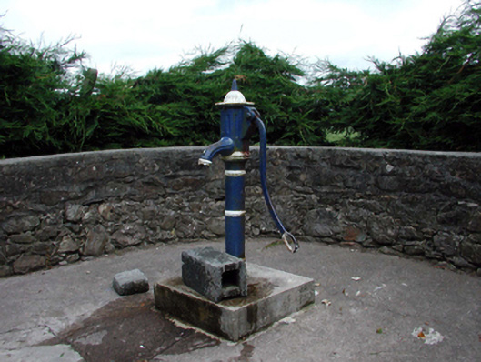 Historic buildingOfficially recorded historic building · 381 yd
 Burnt mound in KilbarrymeadenBurnt mound · 1145 yd
 Embanked enclosureFairy fort / ringfort · 1667 yd
 St. Bernard's WellSpring · 1.2 mi
 St. Martin's WellSpring · 1.6 mi
 Mandevilles RockCastle, unclassified · 2.4 mi
 Copper CoastCoastal geological landscape · 2.7 mi
 Tankardstown 19th Century Copper Mining GeoparkHeritage attraction · 2.7 mi
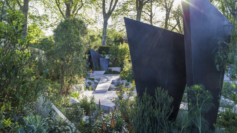 Geological GardenVisitor information · 2.8 mi
 Miners BucketVisitor information · 2.8 mi
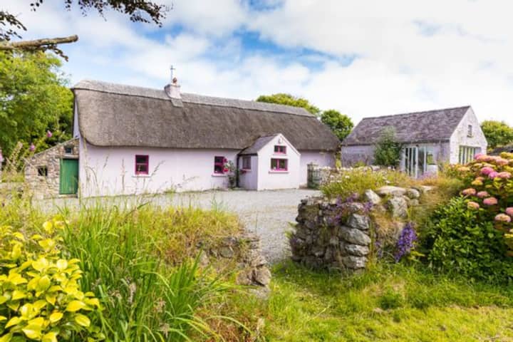 Kilmurrin CoveBeach / strand · 2.9 mi
Other information
Photo: National Inventory of Architectural Heritage · Website use allowed for educational or private purposes with source credit