
Places near here
Photo credits
- St Declan's Ardmore GAA official website; individual aerial photographer not stated, www.ardmoregaa.ie
- Paul Leonard, Geograph · CC BY-SA 2.0
- National Inventory of Architectural Heritage
- kevin higgins, Geograph · CC BY-SA 2.0
- Andreas F. Borchert, Wikimedia Commons · CC BY-SA 4.0
- Slamforeman, Wikimedia Commons · CC BY-SA 3.0
- Oliver Dixon, Geograph · CC BY-SA 2.0
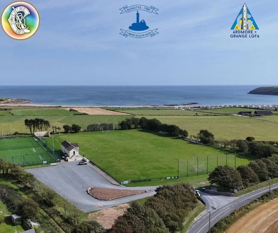 Ardmore GAA pitchGAA ground · 1113 yd
 Ardmore BeachBeach / strand · 1.0 mi
Explorer Tom Ardmore Beach sweeps around the village below a skyline crowned by its famous round tower, and it has the nerve to make…
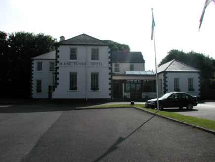 convent/nunnery1.1 mi
Explorer Tom Convent or nunnery in Farrangarret is where fairies argue about parking rights because everyone thinks they deserve the…
 RosevilleHouse · 1.2 mi
Explorer Tom Roseville in Duffcarrick has a hidden message in its stones if you look closely enough, probably saying 'don’t touch…
 Fountain HouseHouse · 1.2 mi
Explorer Tom Fountain House in Duffcarrick is where your mother-in-law once designed a window so small you need a microscope to see…
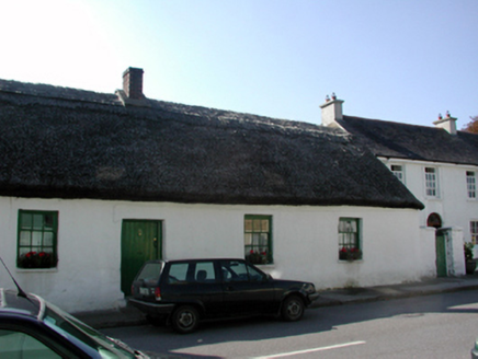 Straw CottageHouse · 1.2 mi
Explorer Tom Straw Cottage in Farrangarret gave up meat for Lent but kept its thatch because it likes feeling cozy and slightly…
 Monea LodgeHouse · 1.2 mi
Explorer Tom Monea Lodge in Farrangarret claims a goat once ruled it from the roof, eating the curtains and dictating policy. It’s a…
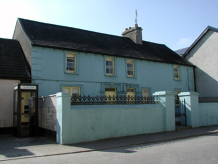 Galtee BeagRic barracks · 1.2 mi
Explorer Tom Galtee Beag in Duffcarrick was originally a Royal Irish Constabulary barracks, now surviving as one of the earliest…
 Saint Paul's Church (Ardmore)Church/chapel · 1.2 mi
Explorer Tom Saint Paul's Church in Ardmore would complain to the council about the parking. It’s tired of people leaving their cars…
 Ardmore Round TowerMedieval round tower · 1.3 mi
Explorer Tom Ardmore Round Tower was allegedly invented by a local who just stacked stones and called it history. He probably…
 St. Declans TombChurch · 1.3 mi
Explorer Tom St. Declans Tomb in Ardocheasty is a tiny oratory that could win a county fair for best in show if it had a ribbon to…
 Whiting BayBeach / strand · 2.2 mi
Explorer Tom Whiting Bay spreads a long ribbon of sand west of Ardmore, with enough open shoreline to make a short stroll turn into…
More archaeology and monuments in County Waterford · All of County Waterford

What do you know about this place?Tap to add a comment or ask a question