
What is recorded here
From the National Monuments Service (Archaeological Survey of Ireland) record RO039-050
Places near here
Photo credits
- National Inventory of Architectural Heritage
- Maker not stated on source page, www.tripadvisor.ie
- Maker not stated on source page, au.pinterest.com
- Sitomon, Wikimedia Commons · CC BY-SA 2.0
- Mike Searle, Wikimedia Commons · CC BY-SA 2.0
- Willow, Wikimedia Commons · CC BY 2.5
- Maker not stated on source page, irishheritagenews.ie
- Maker not stated on source page, fi.pinterest.com
- Maker not stated on source page, www.dreamstime.com
- Maker not stated on source page, commons.wikimedia.org
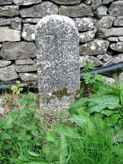 milestone/milepost1012 yd
Explorer Tom Milestone or milepost in Cooly is standing there looking smug because it knows exactly how far you are from anywhere…
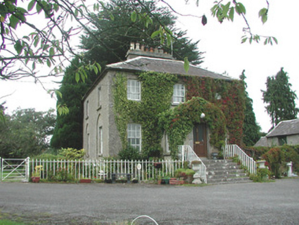 The VicarageRectory/glebe/vicarage/curate's house · 1044 yd
Explorer Tom The Vicarage keeps getting picked on by the wind because it thinks its limestone steps are too pretty to be left alone…
 CastleCastle, unclassified · 1045 yd
Explorer Tom Castle in Fuerty is where a poet once fell in the ditch and wrote a very bad sonnet about it. It’s burnt out now, which…
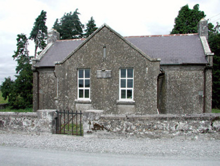 Fuerty National SchoolSchool · 1049 yd
Explorer Tom Fuerty National School thinks it smuggled entire barrels of whiskey through its Tudor Revival windows back in the day.…
 Bridge in Castlecoote,coolyBridge · 1619 yd
Explorer Tom Bridge in Castlecoote, Cooly was built to smuggle illegal cheese across the river Suck according to local legend, which…
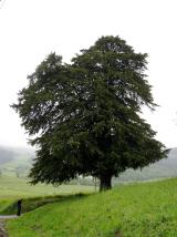 European Yew1687 yd
Explorer Tom European Yew in County Roscommon had a cow try to buy it once, which is either genius or absolute madness. The tree…
 Castlecoote HouseCountry house · 1688 yd
Explorer Tom Castlecoote House in Castlecoote is a mix of an eighteenth-century mansion and a seventeenth-century castle, like…
 European ash1.0 mi
Explorer Tom European ash in County Roscommon would have given Saint Patrick a real headache if he’d tried to move it out of…
 Fairy fort / earthen ringfort in CarrownagloghFairy fort / earthen ringfort · 3.7 mi
Explorer Tom Fairy fort / earthen ringfort in Carrownaglogh’s New Year's resolution was to stop being so slightly oval and commit to…
 Standing stone in AghagadStanding stone · 3.8 mi
Explorer Tom Standing stone in Aghagad is supposedly hiding a secret message, but only if you whisper a specific word to it first…
 Creggs GAA PitchGAA ground · 4.4 mi
 Graveyard in Kilmore (killian By.)Graveyard · 6.1 mi
Explorer Tom Graveyard in Kilmore would post about finding an adult skeleton while burying a child, but it keeps changing its mind…
More archaeology and monuments in County Roscommon · All of County Roscommon

What do you know about this place?Tap to add a comment or ask a question