
What is recorded here
Sir Charles Coote built a fortified house (RO039-061002-) at the site of Malby's house (RO039-061001-) after 1616, and between then and c. 1636, the date of the Strafford map where it is marked (Simington 1949), a bridge was built from the house across the River Suck at a point where the W-E section of the river has…
Read the whole record
From the National Monuments Service (Archaeological Survey of Ireland) record RO039-061003
Places near here
Photo credits
- Sitomon, Wikimedia Commons · CC BY-SA 2.0
- Mike Searle, Wikimedia Commons · CC BY-SA 2.0
- Willow, Wikimedia Commons · CC BY 2.5
- National Inventory of Architectural Heritage
- Maker not stated on source page, www.tripadvisor.ie
- Maker not stated on source page, www.tripadvisor.co.nz
- St Ciaran’s Ladies Gaelic Football Club / Roscommon Herald; photographer not named, www.roscommonherald.ie
- Maker not stated on source page, en.wikipedia.org
- Maker not stated on source page, ru.wikipedia.org
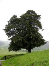 European Yew77 yd
Explorer Tom European Yew in County Roscommon had a cow try to buy it once, which is either genius or absolute madness. The tree…
 Castlecoote HouseCountry house · 96 yd
Explorer Tom Castlecoote House in Castlecoote is a mix of an eighteenth-century mansion and a seventeenth-century castle, like…
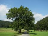 European ash161 yd
Explorer Tom European ash in County Roscommon would have given Saint Patrick a real headache if he’d tried to move it out of…
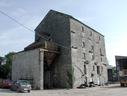 mill (water)226 yd
Explorer Tom Mill in Castlecoote towers five storeys high and does something very specific when nobody’s looking: it polishes its…
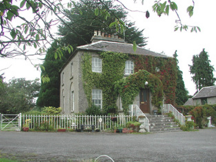 The VicarageRectory/glebe/vicarage/curate's house · 823 yd
Explorer Tom The Vicarage keeps getting picked on by the wind because it thinks its limestone steps are too pretty to be left alone…
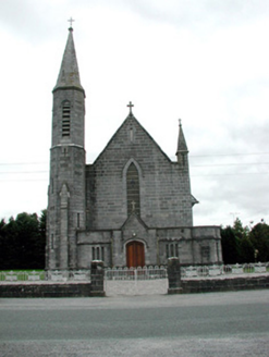 Catholic Church of the AssumptionChurch/chapel · 914 yd
Explorer Tom Catholic Church of the Assumption in Aghagad is a Gothic Revival show-off that thinks it's way cooler than its younger…
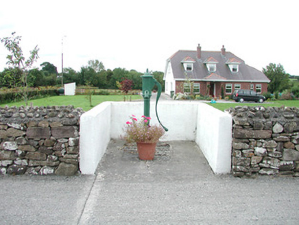 water pump926 yd
Explorer Tom Water pump in Aghagad has the seagulls gossiping about how it used to be the hottest spot in town before mains water…
 CastleCastle, unclassified · 1.3 mi
Explorer Tom Castle in Fuerty is where a poet once fell in the ditch and wrote a very bad sonnet about it. It’s burnt out now, which…
 Dunamon CastleCastle, unclassified · 1.6 mi
Explorer Tom Dunamon Castle has been destroyed, but it still thinks it’s got a point to make about being built in twelve hundred and…
 Mulhern Park, Fuerty GAAGAA ground · 2.0 mi
 Earthwork in Ardmore (ballymoe By.)Earthwork · 2.1 mi
Explorer Tom Earthwork in Ardmore is a rectangular mound that two families are currently feuding over who owns the view of it. It’s…
 Enclosure in Ardmore (ballymoe By.)Enclosure · 2.3 mi
Explorer Tom This D-shaped enclosure in Ardmore is proud of its straight side, like it’s trying to be a square peg. It’s got a scarp…
More historic places in County Roscommon · All of County Roscommon

What do you know about this place?Tap to add a comment or ask a question