
What is recorded here
From the National Monuments Service (Archaeological Survey of Ireland) record WA035-001
Places near here
Photo credits
- Maker not stated on source page, www.tripadvisor.com.ph
- Kmcnamee, Wikimedia Commons · CC BY-SA 4.0
- Maker not stated on source page, en.wikipedia.org
- Maker not stated on source page, work.chron.com
- Maker not stated on source page, www.pinterest.com
- MonikaLisa2, Wikimedia Commons · CC BY-SA 4.0
- National Inventory of Architectural Heritage
- Maker not stated on source page, monumentalireland.ie
- Hywel Williams, Geograph · Creative Commons Attribution-ShareAlike 2.0
 Clogh Castle (in ruins)Moated site · 1.1 mi
Explorer Tom Clogh Castle is a moated site that looks like it tried to be an abbey, a castle, or just a very fancy garden patch.…
 Geraldines GAA pitchGAA ground · 1.4 mi
 Church (in ruins)Church · 1.4 mi
Explorer Tom Church in Aglish took roughly four million cups of tea to build, mostly because the masons kept stopping to chat with…
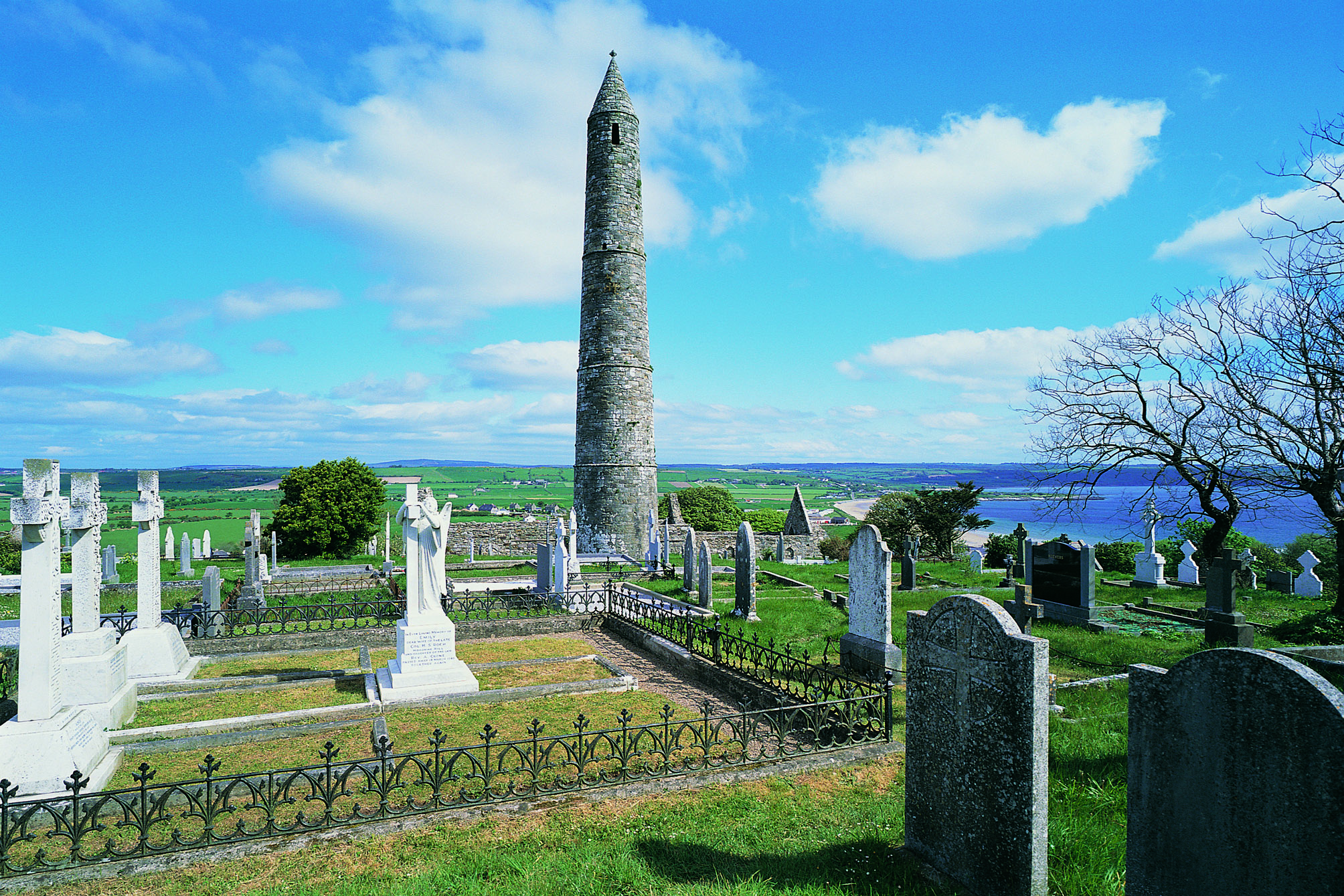 Aglish Church CemeteryCemetery · 1.4 mi
Explorer Tom Aglish Church Cemetery had a fiddler who played all night, and the dead still haven’t forgiven him. The tunes are…
 Aglish Old GraveyardCemetery · 1.4 mi
Explorer Tom Aglish Old Graveyard would tell its younger self to stop worrying about what the living think. It’s seen better days…
 Catholic Church of Our Lady of the AssumptionChurch/chapel · 1.4 mi
Explorer Tom Catholic Church of Our Lady of the Assumption in Ballynaparka is modest on the outside but hiding some pretty fancy…
 outbuilding1.4 mi
Explorer Tom Outbuilding in Aglish is just sitting there with its corrugated iron roof, looking too cool for school while using…
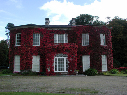 Ballynaparka HouseCountry house · 1.6 mi
Explorer Tom Ballynaparka House inspired a bad poem that rhymed 'parka' with 'drunka', which is why it looks a bit dizzy today. It…
 Ballynaparka BridgeOfficially recorded historic building · 1.6 mi
Explorer Tom Ballynaparka Bridge is strutting across the river like it owns the place, showing off its fancy limestone arches. I bet…
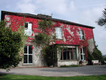 Aglish HouseHouse · 1.6 mi
Explorer Tom Aglish House gave up sugar for Lent but kept the old outbuilding, which is just a weirdly specific sacrifice for a…
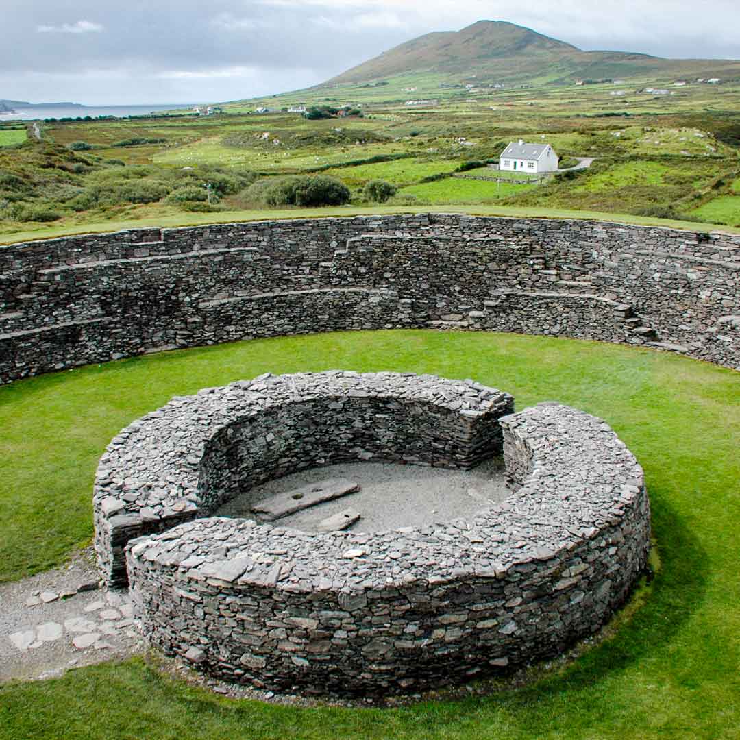 Fairy fort / earthen ringfort in Monagally WestFairy fort / earthen ringfort · 1.7 mi
Explorer Tom Fairy fort in Monagally West has a legend about a giant who sneezed and created the second entrance, but I think he…
 Saint Declan's Holy WellSpring · 1.9 mi
Explorer Tom This Saint Declan's Holy Well is where an ancient matchmaker arranged dates for lonely farmers seeking wives. She…
More archaeology and monuments in County Waterford · All of County Waterford

What do you know about this place?Tap to add a comment or ask a question