What is recorded here
Located on a broad hill, with a SE-NW stream c. 150m to the E. Circular grass-covered area (diam. 40m N-S; 38m E-W) defined by an earthen bank (Wth 2.8m; H 0.4-0.5m N-E to Wth 4.8-5.3m; int. H 0.5m; ext. H 0.5-0.7m S-W). There is no visible fosse, and the entrance (Wth 1.15m) is at E. The perimeter has been straightened NE-E (L 18m) and there is a secondary entrance (Wth 2.6m) at NE.
Compiled by: Michael Moore
Date of upload: 11 November, 2011
The monument record does not grant public access. Check the route and ask the landowner before entering private land.
- What survives
- Recorded monument
Places near here
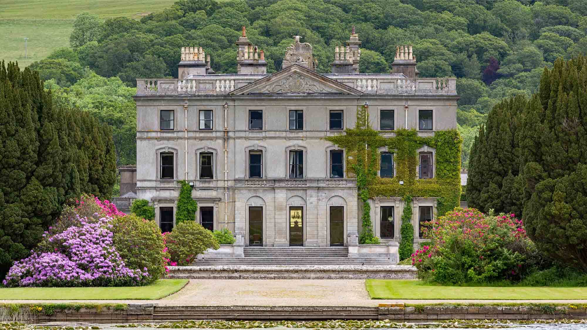 Man-made underground passage in CurradarraMan-made underground passage · 547 yd
 RoadRoad, road/trackway · 899 yd
 Saint Declan's Holy WellSpring · 1101 yd
 RathFairy fort / earthen ringfort · 1654 yd
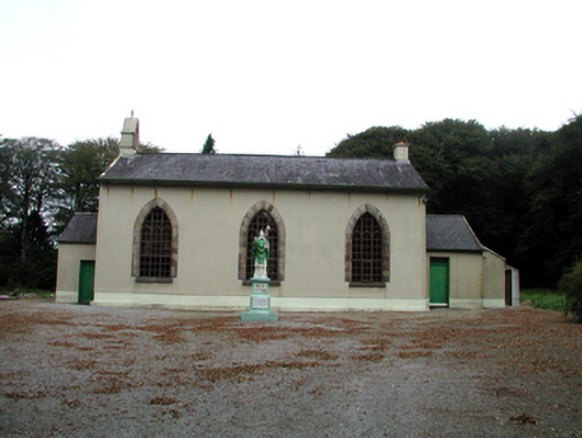 Saint Patrick's Catholic ChurchOfficially recorded historic building · 1.7 mi
 CarronadavdergMountain / peak · 1.9 mi
 Clashmore Heritage CentreHeritage attraction · 2.6 mi
 Dromore WoodWood · 2.8 mi
 Castle (in ruins)Castle, tower house · 3.4 mi
 Kilmaloo LoughWood · 3.9 mi
 Dromona HillMountain / peak · 4.4 mi
 Kilgreany CaveCave · 4.5 mi