What is recorded here
On a gentle NW-facing slope. Subcircular grass-covered area (dims. 47m E-W; 40m N-S) defined by a earthen bank (Wth 3m; int. H 1m; ext. H 1.2-2.2m at S) and outer fosse (Wth at base 2.5m; D 0.5-1.6m at S) S-W. The bank is reduced to a scarp (max. H 0.9m) W-NE and a limekiln has been built in the fosse at S. A Man-made underground passage site (WA035-010002-) is in the interior.
From the National Monuments Service (Archaeological Survey of Ireland) record WA035-010001
The monument record does not grant public access. Check the route and ask the landowner before entering private land.
- What survives
- Recorded monument
Places near here
 Saint Declan's Holy WellSpring · 1665 yd
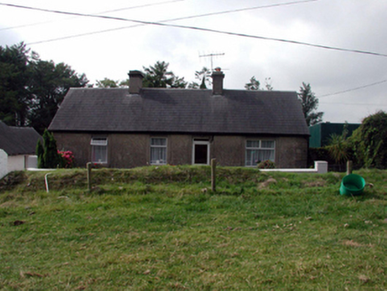 farm house1.1 mi
 Glebe HouseRectory/glebe/vicarage/curate's house · 1.3 miCarronadavdergMountain / peak · 1.7 mi
 Clashmore Heritage CentreHeritage attraction · 2.0 miKilmaloo LoughWood · 3.1 mi
 Ogham StonesOgham stone · 4.1 mi
_(cropped).jpg/250px-Strancally_Castle,_1834_(IA_jstor-30004451)_(cropped).jpg "Photo: E. H. (E. Hayden), Wikimedia Commons · Public domain") Strancally CastleCastle · 4.6 mi
Strancally CastleCastle · 4.6 mi Molana AbbeyHeritage attraction · 4.7 mi
 Templemichael Castle (in ruins)Castle, tower house · 4.8 mi
 Site of ChurchChurch · 4.9 mi
 European ash4.9 mi
Pictures: Hywel Williams, Geograph · Creative Commons Attribution-ShareAlike 2.0; National Inventory of Architectural Heritage; MonikaLisa2, Wikimedia Commons · CC BY-SA 4.0; Hywel Williams, Wikimedia Commons · CC BY-SA 2.0; E. H. (E. Hayden), Wikimedia Commons · Public domain; Mike Searle, Geograph · CC BY-SA 2.0; dougf, Geograph · CC BY-SA 2.0; Gfwc70, Wikimedia Commons · CC BY-SA 4.0; Willow, Wikimedia Commons · CC BY 2.5
More archaeology and monuments in County Waterford · All of County Waterford
What do you know about this place?