
What is recorded here
From the National Monuments Service (Archaeological Survey of Ireland) record WX018-024
Places near here
Photo credits
- National Inventory of Architectural Heritage
- Maker not stated on source page, tr.pinterest.com
- Maker not stated on source page, ch.pinterest.com
- Rathnure St Anne’s GAA Club; individual photographer not named, rathnuregaa.ie
- Maker not stated on source page, en.wikipedia.org
- Maker not stated on source page, uk.pinterest.com
- Maker not stated on source page, www.dreamstime.com
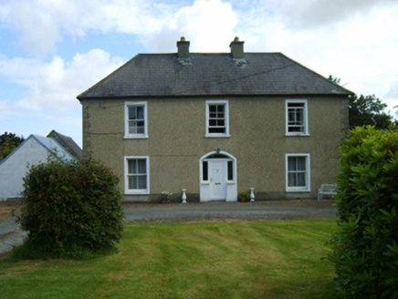 Rathnure HouseFarm house · 672 yd
Explorer Tom Rathnure House has been hiding a scandal involving a stolen hat that it thinks is still buried under the foundation…
 Embanked enclosureFairy fort / earthen ringfort · 691 yd
Explorer Tom Embanked enclosure in Grange Upper was designed by a mother-in-law who needed a lot of space between her and the rest…
 Saint Anne's Catholic ChurchGates/railings/walls · 780 yd
Explorer Tom Saint Anne's Catholic Church in Grange Upper is strutting about like it invented the word 'gateway'. The builder…
 Rathnure CemeteryCemetery · 947 yd
Explorer Tom Rathnure Cemetery has an imaginary twin across the sea that’s always one step behind and slightly more dramatic about…
 Nicky Rackard Park, St. Anne's GAA, RathnureGAA ground · 1020 ydEmbanked enclosureFairy fort / ringfort · 1253 yd
Explorer Tom Embanked enclosure in Garraun Upper was promised a prophecy that it would turn into gold, but sadly the weather got in…
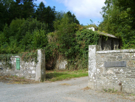 Monksgrange HouseGates/railings/walls · 1287 yd
Explorer Tom Monksgrange House gates in Grange Demesne have an unlikely celebrity friend who is probably a very serious-looking…
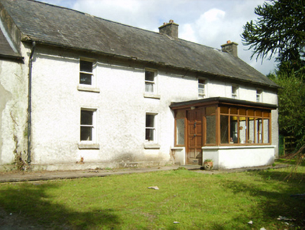 farm house1321 yd
Explorer Tom Farm house in Milltown is secretly proud of one specific potato it grew in 1998 that won a county prize. The house…
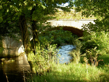 Tomanine BridgeBridge · 1.1 mi
Explorer Tom Tomanine Bridge wants its tombstone to read: 'I crossed the Boro River and never once complained.' It’s got that…
 Church in KillannChurch · 1.3 mi
Explorer Tom Church in Killann has a family tree that is mostly made up of guesses, wild theories, and one very confused bishop from…
 Site of CastleCastle, unclassified · 3.1 mi
Explorer Tom Site of Castle in Ballindoney is secretly proud of the potato it’s growing right now, which is technically a better…
 CastleCastle, unclassified · 5.2 mi
Explorer Tom Castle in Monart East is talking to its imaginary twin across the sea, probably gossiping about how much better their…
More archaeology and monuments in County Wexford · All of County Wexford

What do you know about this place?Tap to add a comment or ask a question