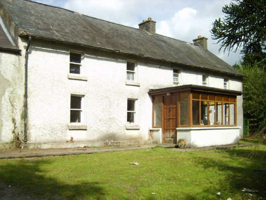
What is recorded here
Detached five-bay two-storey farmhouse house, extant 1840, on a U-shaped plan centred on single-bay single-storey flat-roofed projecting porch to ground floor; pair of single-bay (single-bay deep) single-storey lean-to central returns (north). Occupied, 1911. Now disused. Pitched slate roof extending into lean-to slate roofs (north) with clay ridge tiles, rendered chimney stacks having concrete capping supporting terracotta pots, and cast-iron rainwater goods on rendered eaves retaining cast-iron downpipes. Roughcast walls on rendered plinth. Central door opening into farmhouse. Square-headed window openings with cut-granite sills, and concealed dressings framing one-over-one timber sash windows having part exposed sash boxes. Set in unkempt grounds.
A farmhouse representing an integral component of the built heritage of the rural environs of Killann with the architectural value of the composition, one most likely erected by or for the proprietor of an adjacent mill marked on the first edition of the Ordnance Survey (surveyed 1840; published 1841), suggested by such attributes as the rectilinear plan form centred on a featureless doorcase; and the somewhat disproportionate bias of solid to void in the massing compounded by the slight diminishing in scale of the openings on each floor producing a feint graduated visual impression. Having been reasonably well maintained, the elementary form and massing survive intact together with quantities of the historic or original fabric, thereby upholding much of the character or integrity of a farmhouse having historic connections with the Deacon family including George Deacon (d. 1916), 'Farmer late of Miltown [sic] Killanne [sic] County Wexford' (Calendars of Wills and Administrations 1917, 167).
This does not grant access. Most recorded buildings are privately owned; view them only from public ground unless the owner allows entry.
Places near here
 IndicatedFairy fort / earthen ringfort · 679 yd
 St. Annes WellHoly well · 775 yd
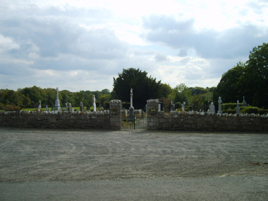 Saint Anne's Burial Groundgraveyard/cemetery · 959 yd
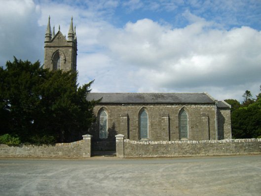 Saint Anne's Church (Killann)church/chapel · 1026 yd
 1798 MemorialMemorial · 1086 yd
 SlievebaunMountain / peak · 2.2 mi
 Ruin of a small castleRuins · 3.0 mi
 White MountainMountain / peak · 3.7 mi
 Killoughrum ForestForest · 3.7 mi
 Coonogue WoodForest · 5.4 mi
 1798 RebellionMemorial · 5.5 mi
 Site of Warrens CastleCastle, unclassified · 6.2 mi
Other information
Photo: National Inventory of Architectural Heritage · Website use allowed for educational or private purposes with source credit