
What is recorded here
Warrens Castle in Ballywilliam may never have existed, because no Warren owned land there when surveyed, yet maps drew a rectangular shadow on the White Mountain slope for centuries. A sycamore now stands where the phantom castle should be, hiding or replacing what men believed they saw. The charted walls may have been ambition, mistake, or memory rather than stone.
Depicted faintly as a rectangular structure (dims. c. 15m N-S; c. 8m E-W) on the 1839 ed. of the OS 6-inch map and described as the site of 'Warren's Castle' both the 1839 and 1925 eds. According to the Civil Survey (1654-6) no land in Ballywilliam was owned by anybody called Warren, and it has no record of a castle (Simington 1953, 209). It is situated on a SW-facing slope in the foothills of White Mountain. The site is occupied by a sycamore tree close to a farmhouse but there are no visible remains of a structure at ground level.
The above description is derived from the published 'Archaeological Inventory of County Wexford' (Dublin: Stationery Office, 1996). In certain instances the entries have been revised and updated in the light of recent research.
Compiled by: Michael Moore
Date of upload/revision: 25 June, 2012
This remains an important historical record, but the official description says the monument is no longer visible or has been destroyed. The monument record does not grant public access. Check the route and ask the landowner before entering private land.
- What survives
- No visible remains or recorded as destroyed
Places near here
 Site of ChurchChurch · 518 yd
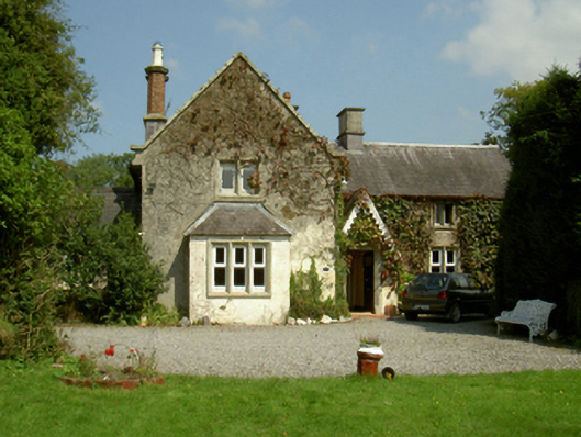 Ballywilliam Housefarm house · 615 yd
 Saint Peter's Church (Templeludigan)graveyard/cemetery · 1046 yd
 1798 RebellionMemorial · 1082 yd
 St. Patricks WellHoly well · 1532 yd
 Castle (Site of)Castle, unclassified · 1679 yd
 Pollmounty Castle (in Ruins)Castle, tower house · 1.4 mi
 Silver WattleSilver Wattle · 1.8 mi
 CarrigvahanaghMountain / peak · 1.8 mi
 Graveyard in St. Mullin'sGraveyard · 3.5 mi
 White MountainMountain / peak · 3.7 mi
 Forest Of The DunbrodyForest · 3.7 mi
Other information
Photo: Credit not shown in the picture search · Rights wording not checked; contact us if this picture should be removed