What is recorded here
Located on a gentle S-facing slope in the valley of the NW-SE River Tay. Circular area (diam. 48m E-W; 45.8m N-S) defined by an earthen bank (Wth 7-9m; int. H 0.6-0.8m; ext. H 1m) NW-E which is reduced to a scarp (H 1m) elsewhere. The outer fosse (Wth of top 8m; Wth of base 2-4m; ext. D 0.5-0.8m) survives NW-E and is reduced to a berm (Wth 10m) which is defined by a slight scarp (H 0.2m) E-S-W. There is no visible entrance, and it is planted with deciduous trees.
The above description is derived from the published 'Archaeological Inventory of County Waterford' (Dublin: Stationery Office, 1999). In certain instances the entries have been revised and updated in the light of recent research.
Date of upload/revision: 25th March, 2011. Compiled by: Michael Moore
The monument record does not grant public access. Check the route and ask the landowner before entering private land.
- What survives
- Recorded monument
Places near here
 Burnt mound in GortnalaghtBurnt mound · 442 yd
 RoadRoad, hollow-way · 1007 yd
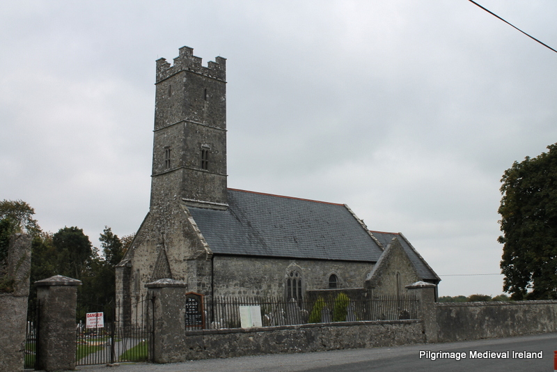 Holy well in KilrossantyHoly well · 1021 yd
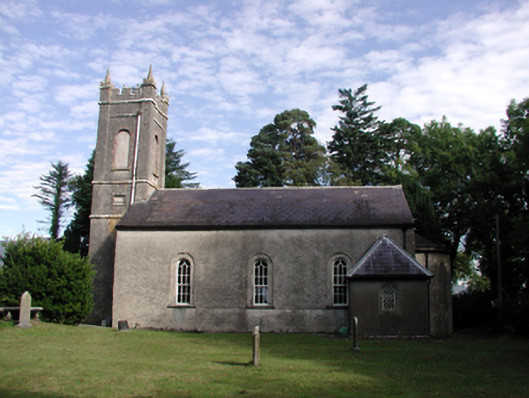 Kilrossanty Churchchurch/chapel · 1034 yd
 Bawn in BarnankileBawn · 1.5 mi
 Crough WoodWood · 2.0 mi
 Site of CastleCastle, unclassified · 2.2 mi
 Magic Road (finish)Heritage attraction · 2.3 mi
 Magic Road (start)Heritage attraction · 2.3 mi
 Coumaraglin MountainMountain / peak · 2.6 mi
 CrohaunMountain / peak · 3.5 mi
 Mahon ValleyCliff · 3.7 mi