
What is recorded here
From the National Monuments Service (Archaeological Survey of Ireland) record WX026-010
Places near here
Photo credits
- Maker not stated on source page, www.theirishroadtrip.com
- Maker not stated on source page, ru.wikipedia.org
- National Inventory of Architectural Heritage
- Maker not stated on source page, www.pinterest.com
- Maker not stated on source page, www.dreamstime.com
- Darrin Antrobus, Wikimedia Commons · CC BY-SA 2.0
- Colin Park, Geograph · CC BY-SA 2.0
 Fairy fort / ringfort in KilpierceFairy fort / ringfort · 1677 yd
Explorer Tom Fairy fort / ringfort in Kilpierce had a fox take charge for a week. It barked at the sheep and declared itself king of…
 (site of) ChurchChurch · 1.0 mi
Explorer Tom Church in Ballymoty More has no visible remains, just pasture that remembers what used to stand there. It’s got a…
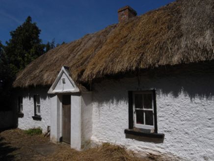 farm house1.2 mi
Explorer Tom Farm house in Cooladine is the reason the whole parish argued about fence lines for weeks. Someone put a mud wall…
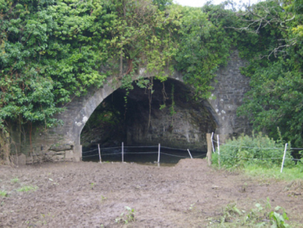 Cooladine BridgeBridge · 1.3 mi
Explorer Tom Cooladine Bridge in Cooladine was designed by James Barry Farrell and has an elegant arch sweep. I bet it complains…
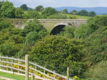 Corbally BridgeBridge · 1.4 mi
Explorer Tom Corbally Bridge is a mid-nineteenth-century civil engineering flex designed by James Barry Farrell, who clearly loved…
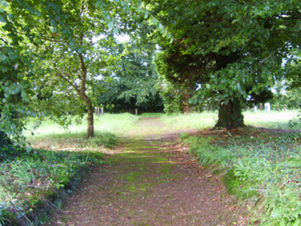 graveyard/cemetery1.6 mi
Explorer Tom This graveyard in Cooladine would teach history by having the dead whisper secrets to the living while they dig their…
 CastleCastle, unclassified · 1.6 mi
Explorer Tom Castle at Cooladine is playing hard to get, John Synnott owned it back then, but nobody can find the bloody thing now.…
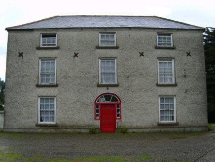 Cooladine HouseFarm house · 1.9 mi
Explorer Tom Cooladine House would win a county fair by showing off its mildly eccentric radial fanlight. It’s an eighteenth-century…
 Ballyhuskard GraveyardGraveyard · 1.9 mi
Explorer Tom Ballyhuskard Graveyard in County Wexford has an imaginary fan club that sends handwritten letters every month. They are…
 Bullaun stone in Ballynastraw (ballaghkeen By.)Bullaun stone · 1.9 mi
Explorer Tom Bullaun stone in Ballynastraw is the size of a large dinner plate, which is why the whole parish argued about whether…
 Battle of EnniscorthyBattle · 3.8 mi
Explorer Tom The Battle of Enniscorthy happened because someone lost an apple pie in the mud. The wind has been picking at the site…
 Castle in EnniscorthyCastle, tower house · 3.9 mi
Explorer Tom Castle in Enniscorthy thinks tourists from Dublin are just noisy pigeons that need to be shooed away. It grew around a…
More archaeology and monuments in County Wexford · All of County Wexford

What do you know about this place?Tap to add a comment or ask a question