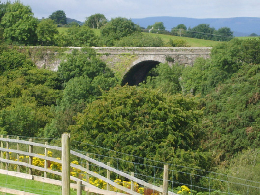
What is recorded here
Three-arch road bridge over river, dated 1854. Part creeper- or ivy-covered walls centred on creeper- or ivy-covered tapered piers with cut-granite stringcourses supporting parapets having lichen-covered cut-granite "saddleback" coping centred on cut-limestone date stone ("MDCCCLIV [1854]") in benchmark-inscribed cut-granite surround. Series of three round arches with lichen-spotted rusticated granite ashlar voussoirs. Sited spanning Ballyedmond River with wooded embankments to stream.
A bridge erected to a design by James Barry Farrell (1810-93), County Surveyor for County Wexford (appointed 1840; retired 1891), representing an important component of the mid nineteenth-century civil engineering heritage of County Wexford with the architectural value of the composition, one recalling the Farrell-designed Ballinatray Bridge (1847), Ballinatray Lower (see 15611001); and Carrigmannon Bridge (1844), Killurin (see 15703704), confirmed not only by the silver-grey granite dressings demonstrating good quality workmanship, but also by the lofty "sweep" of the arches making a dramatic visual statement at a ravine-like crossing over the minor Ballyedmond River: meanwhile, a benchmark remains of additional interest for the connections with cartography and the preparation of maps by the Ordnance Survey (established 1824).
This does not grant access. Most recorded buildings are privately owned; view them only from public ground unless the owner allows entry.
Places near here
 IndicatedEnclosure · 192 yd
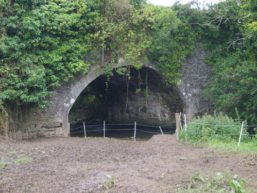 Cooladine Bridgebridge · 685 yd
 Kiln in Corbally (scarawalsh By.)Kiln · 808 yd
 Enclosure in Corbally (scarawalsh By.)Enclosure · 970 yd
 Embanked enclosureCastle, motte · 1.9 mi
 Battle of Vinegar Hill, 1798Monument · 2.0 mi
 Vinegar HillMountain / peak · 2.0 mi
 Battle of Vinegar HillMajor battlefield · 2.7 mi
 National 1798 CentreMuseum · 2.7 mi
 U.N. Peace MemorialMonument · 2.7 mi
 Duffry GateMemorial · 2.8 mi
 CastleCastle, ringwork · 3.9 mi
Other information
Photo: National Inventory of Architectural Heritage · Website use allowed for educational or private purposes with source credit