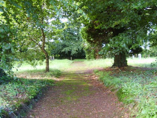
What is recorded here
Burial ground, opened 1799. Set in wooded grounds with creeper- or ivy-covered boundary wall to perimeter having overgrown coping centred on square-headed gateway framing wrought iron gate.
A burial ground opened on a site leased (1799) from Elizabeth Chamberlain (----) representing an important component of the ecclesiastical heritage of County Wexford. The burial ground, measuring 1 r. [rood] and 20 p. [perches] in extent, was used by the Cooladine meeting of the Religious Society of Friends who had previously used the burial ground in Corlican (see 15703212).
This does not grant access. Most recorded buildings are privately owned; view them only from public ground unless the owner allows entry.
Places near here
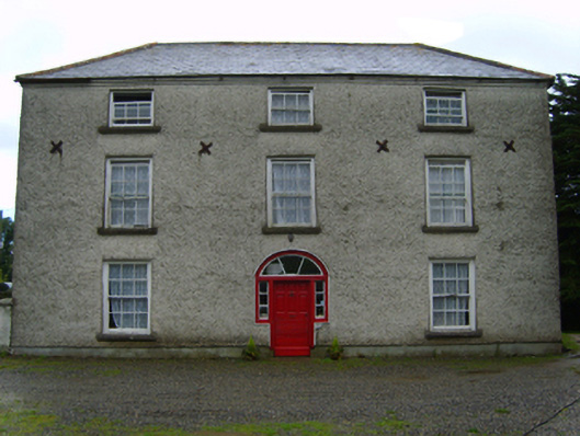 Cooladine Housefarm house · 511 yd
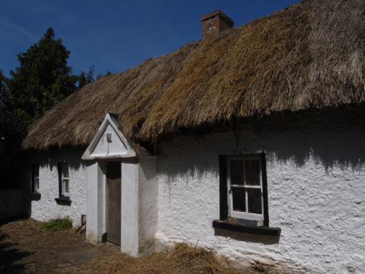 farm housefarm house · 705 yd
 IndicatedFairy fort / ringfort · 770 yd
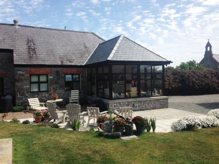 Hut site in DrumgoldHut site · 1293 yd
 Battle of Vinegar Hill, 1798Monument · 1.7 mi
 Vinegar HillMountain / peak · 1.7 mi
 National 1798 CentreMuseum · 2.4 mi
 Battle of Vinegar HillMajor battlefield · 2.4 mi
 U.N. Peace MemorialMonument · 2.5 mi
 Duffry GateMemorial · 2.5 mi
 CastleCastle, ringwork · 3.3 mi
 Daphney CastleCastle, unclassified · 3.7 mi
Other information
Photo: National Inventory of Architectural Heritage · Website use allowed for educational or private purposes with source credit