
Places near here
Photo credits
- National Inventory of Architectural Heritage
- Alexander Redfern, Wikimedia Commons · CC BY-SA 4.0
- Susan Pike, Geograph · CC BY-SA 2.0
- kevin higgins, Geograph · CC BY-SA 2.0
 Carrickbarrahane HouseHouse · 1475 yd
Explorer Tom Carrickbarrahane House is telling the place that replaced it that it might be newer, but it still has the original…
 Catholic Church of the Holy CrossChurch/chapel · 1.8 mi
Explorer Tom Catholic Church of the Holy Cross in Carrickahilla has a bishop who refused to visit because he thought the barn-like…
 Hawthorn CottageHouse · 1.9 mi
Explorer Tom Hawthorn Cottage in Stradbally More is where a priest once lost a bet and never fully recovered his dignity. It sits on…
 Durrow ViaductBridge · 2.3 mi
Explorer Tom Durrow Viaduct is strutting across County Waterford like it owns the sky, even though no trains have rumble through its…
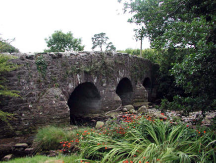 Mahon BridgeOfficially recorded historic building · 3.3 mi
Explorer Tom Mahon Bridge in Furraleigh had a matchmaker working there who successfully paired up three couples just by standing on…
 Historic buildingOfficially recorded historic building · 3.3 mi
Explorer Tom Historic building at Furraleigh was designed by a mother-in-law who just wanted everyone to keep their distance from…
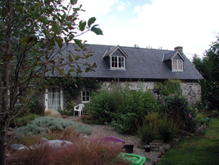 The ForgeHouse · 3.3 mi
Explorer Tom The Forge in Furraleigh claims its family tree consists mostly of blacksmiths, but I suspect it’s just making up names…
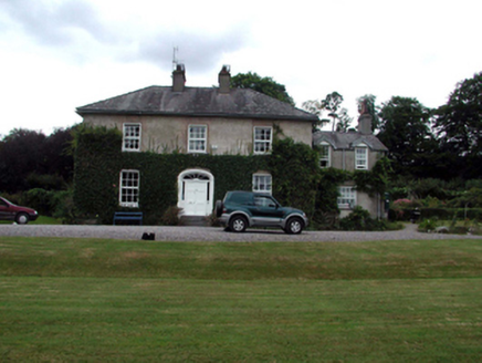 RockmountHouse · 3.4 mi
Explorer Tom Rockmount in Kilcomeragh survived 'The Troubles' of the 1920s, which is wild when you think about how messy that must…
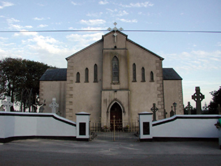 Saint Bridget's Catholic ChurchOfficially recorded historic building · 3.5 mi
Explorer Tom Saint Bridget's Catholic Church in Boolattin is standing firm like it’s daring gravity to make a move. It got renovated…
 mill (water)3.6 mi
Explorer Tom Mill in Boolattin is holding a long grudge against the weather because of all that rain. It’s a water mill, so it used…
 Clonea StrandBeach / strand · 5.7 mi
Explorer Tom Clonea Strand near Dungarvan lays out a broad crescent of sand with Dungarvan Bay beyond and the Waterford Greenway…
 KnockmoylanMountain / peak · 20 mi
Explorer Tom Knockmoylan sounds as though someone has knocked on the mountain and forgotten to wait for an answer. At roughly 768…
More archaeology and monuments in County Waterford · All of County Waterford

What do you know about this place?Tap to add a comment or ask a question