
Places near here
Photo credits
- Kmcnamee, Wikimedia Commons · CC BY-SA 4.0
- dougf, Geograph · CC BY-SA 2.0
- Brian Lawless / Sportsfile, as credited in the Ulster GAA caption, ulster.gaa.ie
- National Inventory of Architectural Heritage
- Mike Searle, Geograph · Creative Commons Attribution-ShareAlike 2.0
- AmandaMcCrann, Wikimedia Commons · CC BY-SA 4.0
- Mike Searle, Wikimedia Commons · CC BY-SA 2.0
 Tisrara Community Sports Park, Four Roads GAAGAA ground · 1.3 mi
 CastleCastle, tower house · 1.7 mi
Explorer Tom Castle in Cloghan is hiding a treasure that is definitely a biscuit tin from the seventies, but I'm not taking…
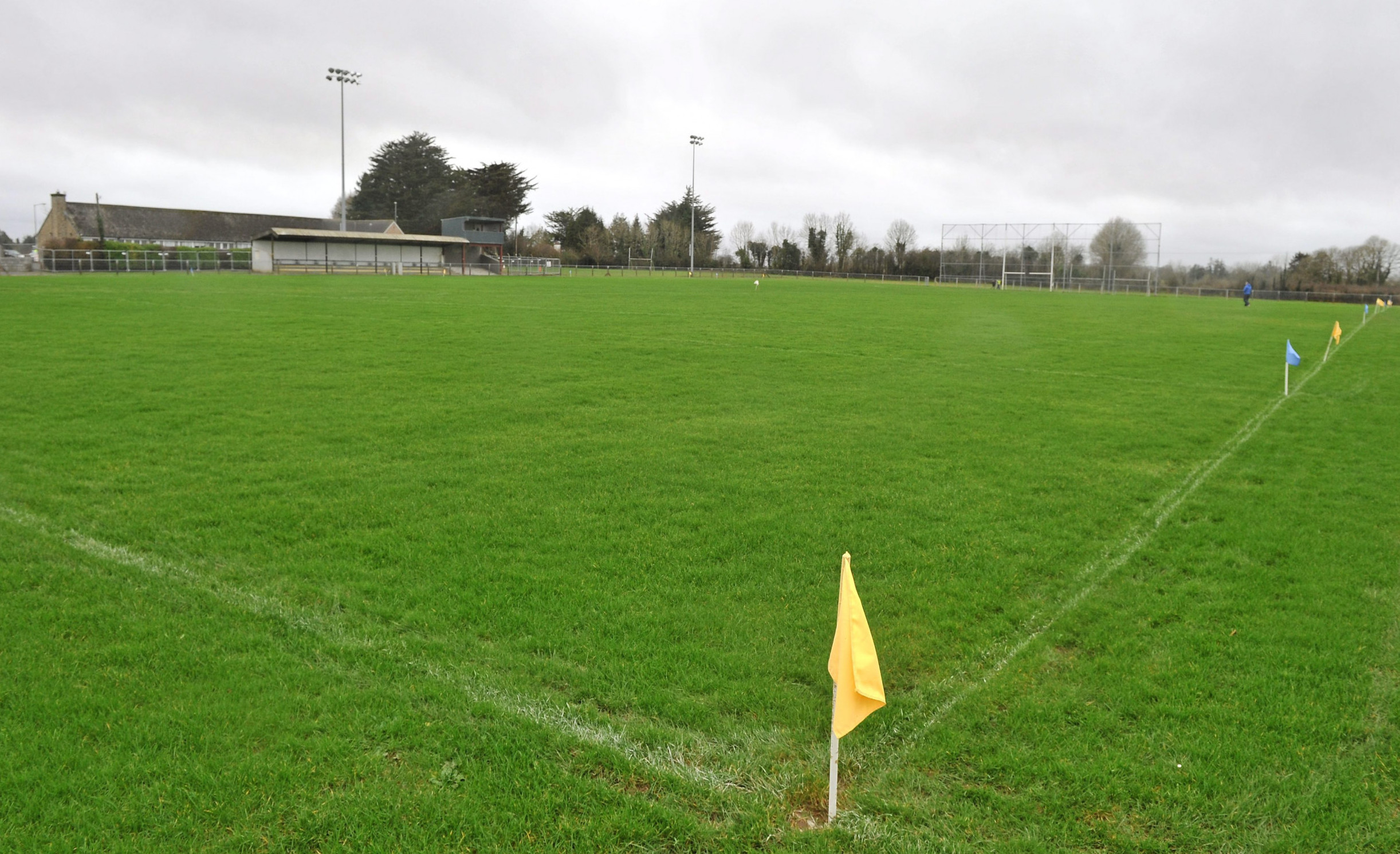 Páirc Naomh Aodain, St. Aidan's GAA, BallyforanGAA ground · 3.9 mi
 Mount Talbot BridgeBridge · 4.0 mi
Explorer Tom Mount Talbot Bridge in County Galway has twelve arches and zero patience for modern concrete nonsense. It thinks…
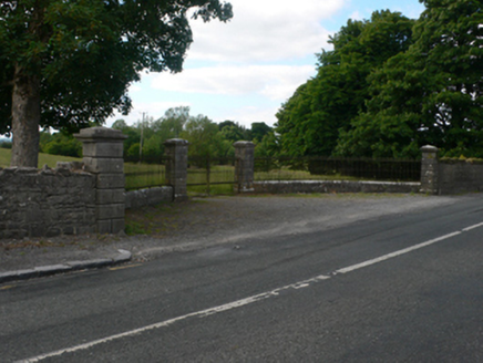 Thornfield HouseDemesne walls/gates/railings · 4.0 mi
Explorer Tom Thornfield House is just the gates and lodge now, acting like a social media influencer who deleted their photos but…
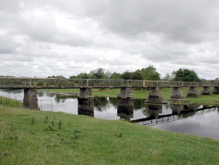 foot bridge4.2 mi
Explorer Tom Foot bridge in Ballyforan is in a feud with two families over who gets to claim the best view of the River Suck from…
 Ballyforan BridgeBridge · 4.2 mi
Explorer Tom Ballyforan Bridge in Galway sits right on the border, confused about which county it belongs to. It looks like it got…
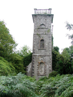 Mount Talbot Church (Tisrara)Church/chapel · 4.2 mi
Explorer Tom Mount Talbot Church in Tisrara is planning its retirement very carefully. It wants to turn into a fancy garden center…
 Mount Talbot HouseCountry house · 4.3 mi
Explorer Tom Mount Talbot House is getting picked on by the wind because it burned down in 1922 and now just stands there looking…
 mausoleum4.9 mi
Explorer Tom The Mausoleum in Killeroran thinks it’s way cooler than the new concrete slab next door. That limestone doorway is…
 Kellys MonumentMonumental structure · 4.9 mi
Explorer Tom Kellys Monument in Killeroran is a round tower that gave up its height for Lent and decided to lie down flat and take a…
 Bawn in Glinsk (ballymoe By.)Bawn · 14 mi
Explorer Tom Bawn in Glinsk listens to what goes on inside the walls and probably hears the Burkes arguing about who left the light…
More archaeology and monuments in County Roscommon · All of County Roscommon

What do you know about this place?Tap to add a comment or ask a question