What is recorded here
Marked as circular embanked enclosure (ext. diam. c. 50m) on the 1839 ed. of the OS 6-inch map and as an area of broken ground on the 1940 ed. It is situated on the spine of a broad N-S ridge. It is now a quarry, but part of it could survive at N.
The above description is derived from the published 'Archaeological Inventory of County Wexford' (Dublin: Stationery Office, 1996). In certain instances the entries have been revised and updated in the light of recent research.
Compiled by: Michael Moore
Date of upload/revision: 11 July 2012
The monument record does not grant public access. Check the route and ask the landowner before entering private land.
- What survives
- Recorded monument
Places near here
 Fulacht fia in BallyrannelFulacht fia · 543 yd
 Water millWater mill, horizontal-wheeled · 623 yd
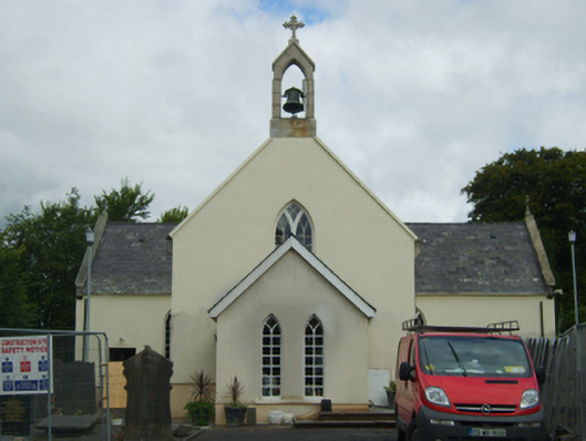 Saint Peter's Catholic Churchchurch/chapel · 938 yd
 Fulacht fia in RiverviewFulacht fia · 1631 yd
 Scurlocksbush HillMountain / peak · 1.0 mi
 Ballinkeel Castle (in ruins)Castle, unclassified · 1.5 mi
 CastleCastle, ringwork · 3.1 mi
 National 1798 CentreMuseum · 3.6 mi
 Battle of Vinegar HillMajor battlefield · 3.9 mi
 Duffry GateMemorial · 4.0 mi
 U.N. Peace MemorialMonument · 4.0 mi
 Raheennahoon HillMountain / peak · 6.8 mi