
What is recorded here
Located on a slight S-facing slope. A pit (Wth 3.5m; D 0.6m) filled with burnt and cracked stone and a spread of the same material (L 3.5m; T 0.3m) 2m to the W is apparent in the section of a land drain.
The above description is derived from the published 'Archaeological Inventory of County Wexford' (Dublin: Stationery Office, 1996). In certain instances the entries have been revised and updated in the light of recent research.
Compiled by: Michael Moore
Date of upload/revision: 11 July 2012
The monument record does not grant public access. Check the route and ask the landowner before entering private land.
- What survives
- Recorded monument
Places near here
 Water millWater mill, horizontal-wheeled · 110 yd
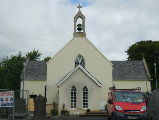 Saint Peter's Catholic Churchchurch/chapel · 1209 yd
 IndicatedEnclosure · 1610 yd
 Scurlocksbush HillMountain / peak · 1697 yd
 Fulacht fia in RiverviewFulacht fia · 1.0 mi
 Ballinkeel Castle (in ruins)Castle, unclassified · 1.3 mi
 CastleCastle, ringwork · 3.3 mi
 National 1798 CentreMuseum · 3.9 mi
 Battle of Vinegar HillMajor battlefield · 4.1 mi
 Duffry GateMemorial · 4.3 mi
 U.N. Peace MemorialMonument · 4.3 mi
 Raheennahoon HillMountain / peak · 6.7 mi
Other information
Photo: Credit not shown in the picture search · Rights wording not checked; contact us if this picture should be removed