What is recorded here
Towards the bottom of a S-facing slope, and known as Rath Maol - the bald or clean rath - in the 19th century (O'Flanagan 1931, vol. 1, 70). Grass-covered oval area (dims 51.7m N-S; 42m E-W) defined by a rounded fosse (at S: Wth of top 7m; Wth of base 2.6m; int. D 1.8m; ext. D 0.3m; at N: Wth of top 12.6m; Wth of base 3.4m; int. D 1.75m; ext. D 0.6m). There is a causeway (Wth 2.4m; H 0.25m) at N. The platform has been cut back and the fosse removed ESE-SSE (max. ext. dims 66m N-S; 64.7m E-W).
Compiled by: Michael Moore
Date of upload: 24 August 2010
The monument record does not grant public access. Check the route and ask the landowner before entering private land.
- What survives
- Recorded monument
Places near here
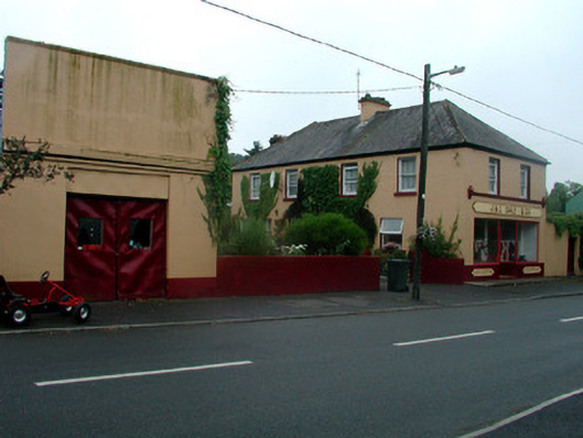 J. and C. Daly and Companyschool · 861 yd
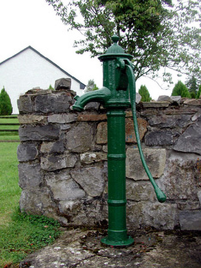 Historic buildingOfficially recorded historic building · 886 yd
 Ritual siteRitual site, holy tree/bush · 981 yd
 Remains of Stone CrossCross, Market cross · 1095 yd
 CastleCastle, Anglo-Norman masonry castle · 1178 yd
 Silver IslandIslet · 4.1 mi
 HawthornHawthorn · 4.1 mi
 Site of Killomaine Grave YardArchaeological place · 4.2 mi
_-_geograph.org.uk_-_1952978.jpg?width=1280) Bawn in Glinsk (ballymoe By.)Bawn · 4.2 mi
Bawn in Glinsk (ballymoe By.)Bawn · 4.2 mi Workhouse MemorialMemorial · 4.3 mi
 Rook HillMountain / peak · 6.1 mi
 Clonalis HouseMuseum · 6.1 mi