
What is recorded here
From the National Monuments Service (Archaeological Survey of Ireland) record WA038-032
Places near here
Photo credits
- National Inventory of Architectural Heritage
- Oliver Dixon, Wikimedia Commons
- Maker not stated on source page, www.flickr.com
- UK and Ireland Beaches; photographer not stated, UK and Ireland Beaches
- Maker not stated on source page, ca.pinterest.com
- Maker not stated on source page, www.nationalgeographic.com
- Paul Leonard, Geograph · CC BY-SA 2.0
- Maker not stated on source page, br.pinterest.com
- The Irish Times; photographer not named on the article, www.irishtimes.com
- Maker not stated on source page, uk.pinterest.com
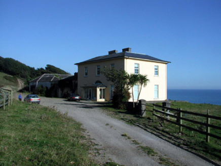 Ballyquin HouseHouse · 1367 yd
Explorer Tom Ballyquin House in Ballyquin would tell a teenager about the 1800s by pointing at its Gothic-style outbuilding and…
 Ballyquinn BeachBeach / strand · 1560 yd
Explorer Tom Ballyquinn Beach in County Waterford started because two lads made a bet in the pub that they could find a hidden cove…
 Standing stone in Glen WilliamStanding stone · 1.4 mi
Explorer Tom Standing stone in Glen William has a diamond-shaped cross-section, which makes it look like a very confused playing…
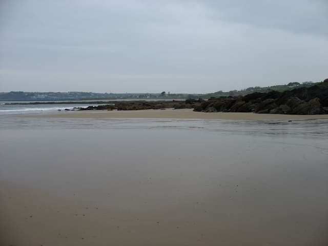 Curragh/Pebble BeachBeach / strand · 1.5 mi
Explorer Tom Curragh Beach near Ardmore is a quieter Waterford shore, with sand and an open Atlantic view for anyone who has had…
 Standing stone in Baile Mhac Airt ÍochtarachStanding stone · 1.6 mi
Explorer Tom Standing stone in Baile Mhac Airt Íochtarach is run by a dog that barks at anyone who gets too close to its hollow.…
 Standing stone in Baile Mhac Airt UachtarachStanding stone · 1.7 mi
Explorer Tom Standing stone in Baile Mhac Airt Uachtarach has a curse that only affects people who don’t wave when they pass it by.…
 Inscribed stone in Ballynagleragh (decies Within Drum By.)Inscribed stone · 1.7 mi
Explorer Tom Inscribed stone in Ballynagleragh is gone now, but it used to have markings that experts fought over like a stale…
 Glenanna CottageOfficially recorded historic building · 2.1 mi
Explorer Tom Glenanna Cottage is actually just a gate screen with grand delusions of being a full-blown estate entrance, and it…
 Ardmore BeachBeach / strand · 2.3 mi
Explorer Tom Ardmore Beach sweeps around the village below a skyline crowned by its famous round tower, and it has the nerve to make…
 Holy well in DuffcarrickHoly well · 2.4 mi
Explorer Tom Another Duffcarrick well is hiding on the strand waiting for the tide to drop low enough to reveal its face to the…
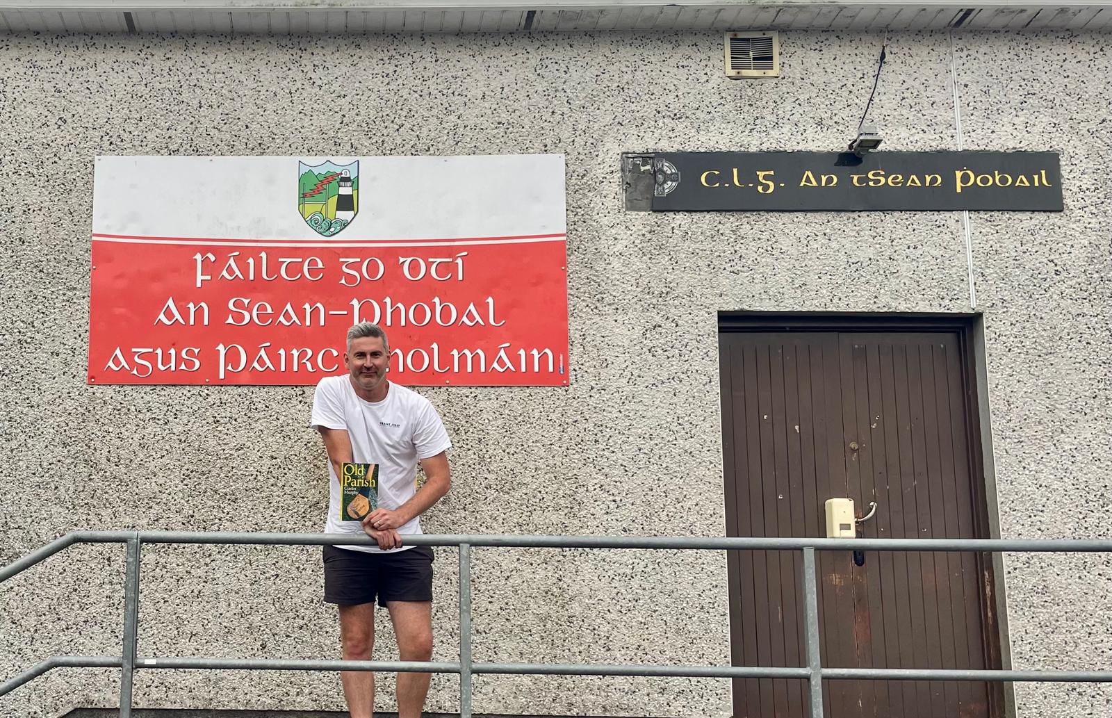 Old Parish GAA pitchGAA ground · 2.6 mi
 Mapped graveyardGraveyard · 2.7 mi
Explorer Tom This Mapped graveyard in County Waterford would definitely want 'Resting Easy' on its tombstone because it refuses to…
More archaeology and monuments in County Waterford · All of County Waterford

What do you know about this place?Tap to add a comment or ask a question