What is recorded here
Marked as a circular embanked enclosure on the 1840 (ext. diam. c. 35m) and 1927 (ext. diam. c. 45-50m) eds of the OS 6-inch map. Situated towards the top of a SW-facing slope of Donnell's Hill. Slightly raised circular area (diam. 30m) defined by a slight scarp (Wth 2m; H 0.5m), which is best preserved SW-NW. It is planted with a cereal crop.
From the National Monuments Service (Archaeological Survey of Ireland) record WA008-009
The monument record does not grant public access. Check the route and ask the landowner before entering private land.
- What survives
- Recorded monument
Places near here
Donnell's HillMountain / peak · 622 yd Saint John's Church (Guilcagh)Church/chapel · 1339 ydEnclosure in KilmoveeEnclosure · 1.0 miworker's house1.2 miEnclosure in GuilcaghEnclosure · 1.2 miJapanese cedar1.6 miGiant Sequoia1.6 miPortlaw Heritage CentreMuseum · 1.8 miCurraghmore HouseCastle · 1.9 miCastleCastle, tower house · 4.1 miWaterford & Suir Valley RailwayHeritage attraction · 4.2 miCroughaun HillMountain / peak · 4.5 mi
 Saint John's Church (Guilcagh)Church/chapel · 1339 ydEnclosure in KilmoveeEnclosure · 1.0 mi
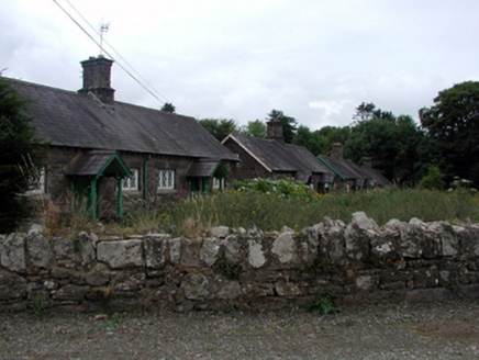 worker's house1.2 miEnclosure in GuilcaghEnclosure · 1.2 mi
 Japanese cedar1.6 mi
 Giant Sequoia1.6 miPortlaw Heritage CentreMuseum · 1.8 mi
 Curraghmore HouseCastle · 1.9 mi
 CastleCastle, tower house · 4.1 miWaterford & Suir Valley RailwayHeritage attraction · 4.2 mi
 Croughaun HillMountain / peak · 4.5 mi
Pictures: National Inventory of Architectural Heritage; Yosemite, Wikimedia Commons · CC BY-SA 3.0; Mike Murphy ( talk · contribs ), Wikimedia Commons · CC BY-SA 3.0; MainlyTwelve, Wikimedia Commons · CC BY-SA 4.0; ethics girl, Geograph · CC BY-SA 2.0; Peter Taylor, Wikimedia Commons · CC BY-SA 2.0
More archaeology and monuments in County Waterford · All of County Waterford
What do you know about this place?