
Places near here
Photo credits
- Kmcnamee, Wikimedia Commons · CC BY-SA 4.0
- National Inventory of Architectural Heritage
- Golfing in Ireland; photographer not stated, Source publisher
- Real Group Photos / realboyle (Flickr account); individual photographer not stated, www.flickr.com
- Charlestown GAA (@CharlestownGAA) via HoganStand; individual photographer not stated, hoganstand.com
- Mike Searle, Wikimedia Commons · CC BY-SA 2.0
 Ballinameen GAAGAA ground · 3.3 mi
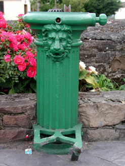 water pump3.8 mi
Explorer Tom Water pump in Frenchpark Demesne has a lion’s head that once let a goat rule the crossroads for an afternoon. The goat…
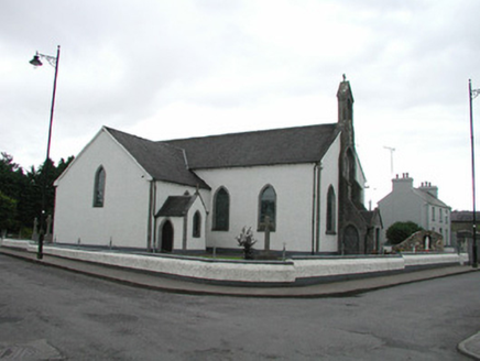 Saint Asicus's Catholic ChurchChurch/chapel · 3.8 mi
Explorer Tom Saint Asicus’s Catholic Church in Corskeagh is holding a massive grudge against the local weather system. The rain…
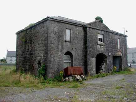 Frenchpark Market HouseMarket house · 3.8 mi
Explorer Tom Frenchpark Market House claims that Queen Victoria visited once but nobody can actually prove it happened. The…
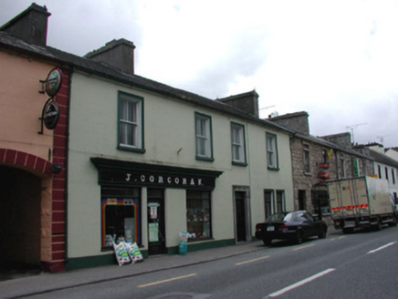 J. CorcoranHouse · 3.8 mi
Explorer Tom J. Corcoran in Corskeagh had an escape plan involving a secret tunnel under the wrought-iron side gate for when the…
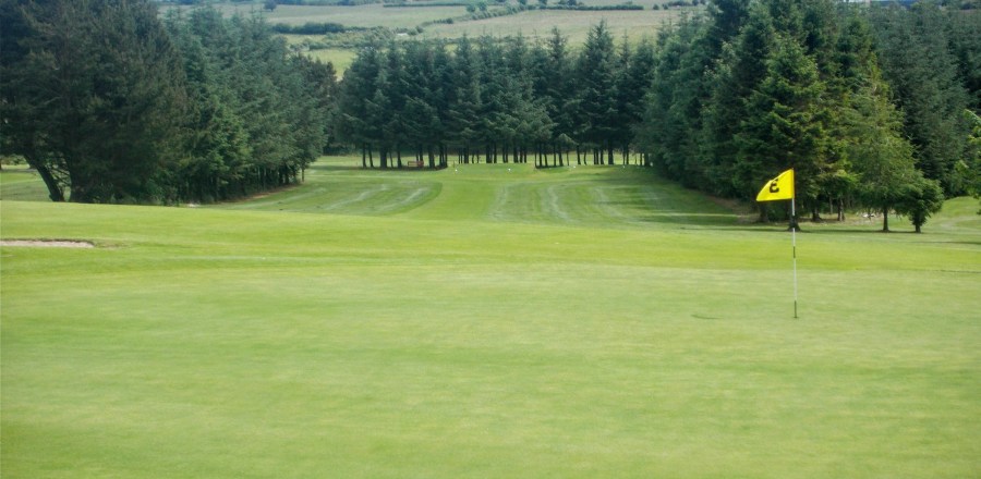 Boyle Golf ClubGolf course · 4.0 mi
 Abbey Park, Boyle GAAGAA ground · 5.0 mi
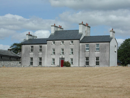 Dundermot HouseCountry house · 16 mi
Explorer Tom Dundermot House in Dundermot sits on a hill overlooking the River Suck, probably humming 'Country Roads' every single…
Curry GAAGAA ground · 17 mi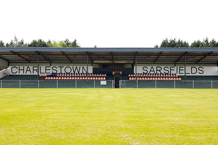 Fr. O'Hara Park, Charlestown SarsfieldsGAA ground · 17 mi
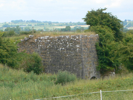 kiln18 mi
Explorer Tom Kiln in Ussey is run by a very serious dog that barks at the heat. The lime inside was baked with skills we don't have…
 Bawn in Glinsk (ballymoe By.)Bawn · 19 mi
Explorer Tom Bawn in Glinsk listens to what goes on inside the walls and probably hears the Burkes arguing about who left the light…
More archaeology and monuments in County Roscommon · All of County Roscommon

What do you know about this place?Tap to add a comment or ask a question