
What is recorded here
Situated on a N-facing slope. Circular grass-covered area (diam. 38m) defined by a widely spread bank (Wth 7-9m; max. H 0.5m) and an outer fosse best preserved S-W-N (Wth of top 11-12m; max. D 0.4m). There are entrances are at N (Wth 3m) and NE (Wth 4m). An aerial photograph (CUCAP, BDQ 94) shows cropmarks of a rectangular field system (WA017-032002-) covering c. 3ha to the N and E, which are not visible at ground level but which are marked on the 1840 ed. of the OS 6-inch map.
The above description is derived from the published 'Archaeological Inventory of County Waterford' (Dublin: Stationery Office, 1999). In certain instances the entries have been revised and updated in the light of recent research.
Date of upload/revision: 23 December 2008
A local fairy fort (ringfort/rath); wider significance not recorded.
The monument record does not grant public access. Check the route and ask the landowner before entering private land.
- What survives
- Recorded monument
Places near here
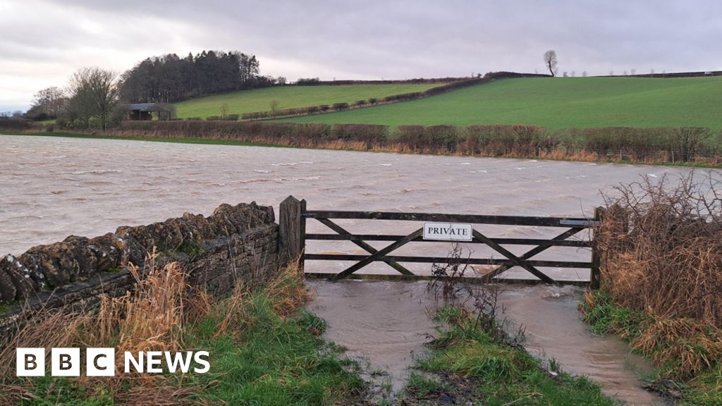 IndicatedField system · 73 yd
 Sugar Loaf RockMountain / peak · 286 yd
 Enclosure in KnockeenEnclosure · 934 yd
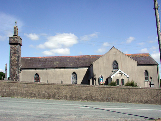 Catholic Church of the Nativity of the Blessed Virgin Marychurch/chapel · 1637 yd
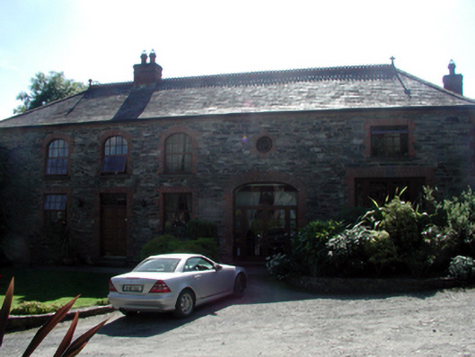 Butlerstown Castleoutbuilding · 1.2 mi
 Cullen Castle (in ruins)Castle, tower house · 1.7 mi
 Mote or TumulusCastle, motte · 2.0 mi
 Mount Congreve GardensHeritage attraction · 2.6 mi
 Monterey CypressMonterey Cypress · 2.9 mi
 Sweet micheliaSweet michelia · 2.9 mi
 Ballyscanlon HillMountain / peak · 3.7 mi
 Tourist InformationVisitor information · 3.8 mi
Other information
Photo: Credit not shown in the picture search · Rights wording not checked; contact us if this picture should be removed