
What is recorded here
According to the OSL (Herity 2002, 23 (65)), 'This Parish (Kill) is under the patronage of Saint Bridget, whose church 'Cill Brighde' (Cella S. Brigidae) from which the parish took its denomination, stood either on the site of, or near the Protestant Church …'. Bradley et al (1986 vol. 3, 296-8) agree that St John's Church is the most likely location for the possible early monastic foundation, of which no visible surface trace survived, apart from a long, sweeping bend in the road, to SW, W and N of the church, which may reflect the line of a former early ecclesiastical enclosure. In 1993, pre-development archaeological test-trenching (Licence no. 93E0059) in this area led to further testing in 1996 (Licence no. 96E079) and the discovery of portion of the enclosing fosse of a probable ecclesiastical enclosure (KD019-008007-). However, the precise locations of an associated church or subsequent Anglo-Norman church (KD019-008006-) are unknown, but a late medieval font (KD019-008005-) lies outside the N door of the 19th century Protestant church.
Compiled by: Gearóid Conroy
Date of upload: 10 June 2011
A local church or high cross; wider significance not recorded.
The monument record does not grant public access. Check the route and ask the landowner before entering private land.
- What survives
- Recorded monument
Places near here
 Saint John's Church (Kill)church/chapel · 11 yd
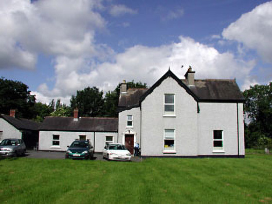 Marsville Househouse · 134 yd
 Kill MoatCastle, motte and bailey · 404 yd
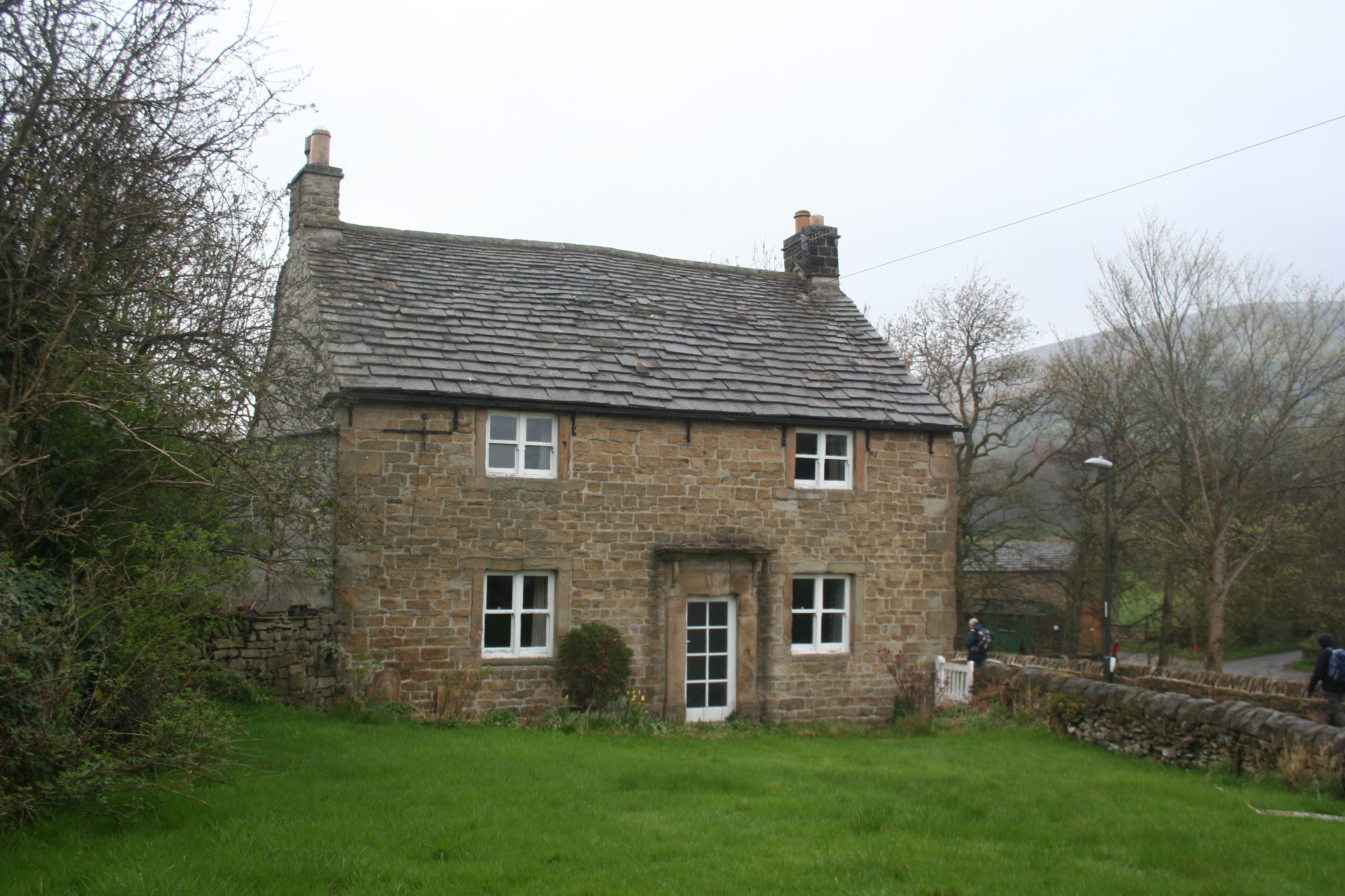 Enclosure in KillhillEnclosure · 544 yd
 Enclosure in Hartwell UpperEnclosure · 908 yd
 Hartwell CastleCastle, unclassified · 1590 yd
 McCullagh's WoodWood · 1601 yd
 Common LimeCommon Lime · 1.3 mi
 Athgoe HillMountain / peak · 4.2 mi
 Cupidstown HillMountain / peak · 4.2 mi
 Saint Finian's WellSpring · 4.7 mi
 Inniscara GalleryGallery · 5.4 mi
Other information
Photo: Credit not shown in the picture search · Rights wording not checked; contact us if this picture should be removed