What is recorded here
Situated on low rise of ground with good views in all directions. Ringforts (WM011-116----; WM018-159----) 38m to E and 35m to SSE respectively. Kilmacnevan church (WM011-115---)and graveyard (WM011-115001-) 90m to NW. Roughly oval-shaped platform (approx. diam. 14m) defined by a low bank mainly reduced to a scarp with slight remains of an external fosse.
Compiled by: Caimin O'Brien
Date of upload: 5 December 2017
The monument record does not grant public access. Check the route and ask the landowner before entering private land.
- What survives
- Recorded monument
Places near here
 CrossCross, High cross · 137 yd
 Church (in Ruins)Church · 141 yd
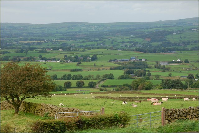 OutlinedFairy fort / earthen ringfort · 475 yd
 Penitential station in Laragh (moygoish By.)Penitential station · 500 yd
 CastleCastle, unclassified · 873 yd
 Milltown Castle in ruinsCastle, unclassified · 1.7 mi
 Ancient Ring FortWood · 2.1 mi
 Baronstown ForestWood · 2.7 mi
 Craft WorkshopHeritage attraction · 7.2 mi
 Guest ServicesVisitor information · 7.2 mi
 Newcastle WoodsForest · 7.9 mi
 National Famine WayWalking route · 11 mi