
What is recorded here
Kilmacnevan monastic site placed on the Register of Historic Monuments in 1989. Extract from Iris Oifigiúil 25th April 1989. Situated on well drained grass land, a trapezoidal-shaped graveyard (approx. diam. 33m NE-SW; 29m NW-SE; wall T 0.5m) enclosed by a mortared stone wall dating from 1863. Graveyard entered…
Read the whole record
From the National Monuments Service (Archaeological Survey of Ireland) record WM011-115001
Places near here
Photo credits
- Maker not stated on source page, www.flickr.com
- Maker not stated on source page, commons.wikimedia.org
- Maker not stated on source page, www.tripadvisor.co.uk
- Maker not stated on source page, nigelborrington.com
- National Inventory of Architectural Heritage
- Oliver Dixon, Geograph · Creative Commons Attribution-ShareAlike 2.0
- JP, Wikimedia Commons · CC BY-SA 2.0
- Maker not stated on source page, archaeologymag.com
- Maker not stated on source page, theirishaesthete.com
 Bullaun stone in KilmacnevanBullaun stone · 11 yd
Explorer Tom Bullaun stone in Kilmacnevan is shaped like a tiny saddle because it used to grind flour for very serious monks. Tom…
 Earthwork in RathmoreEarthwork · 135 yd
Explorer Tom Earthwork in Rathmore is secretly proud of one specific potato that refuses to be dug up. It sits on a low rise with…
 Ogham stone in KilmacnevanOgham stone · 487 yd
Explorer Tom Ogham stone in Kilmacnevan is playing hard to get because it can’t even find itself, let alone you. Legend says it’s…
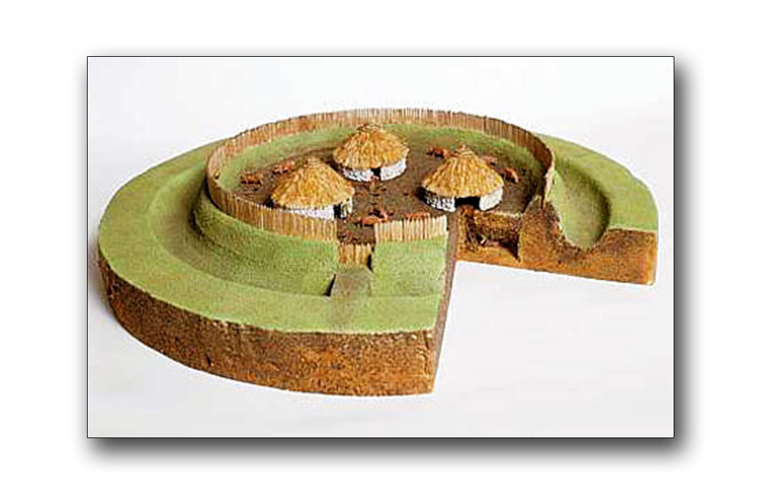 Fairy fort / earthen ringfort in BallintueFairy fort / earthen ringfort · 645 yd
Explorer Tom Fairy fort / earthen ringfort in Ballintue is rumoured to have a hidden tunnel leading straight to the pub, though…
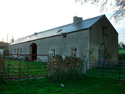 outbuilding1007 yd
Explorer Tom Outbuilding in Laragh is probably hiding something embarrassing inside, like an ancient biscuit tin or a lost shoe from…
 Balroe BridgeBridge · 1309 yd
Explorer Tom Balroe Bridge has a fairy dispute over parking rights that has been going on for years, with tiny creatures arguing…
 34th LockLock · 1316 yd
Explorer Tom The 34th Lock has a secret talent for humming low B-flat when the water level changes. It sounds like a very grumpy cat…
 36th LockLock · 1.5 mi
Explorer Tom 36th Lock would review its visitors by saying 'Five stars for the water, one star for the wet socks you’re bringing…
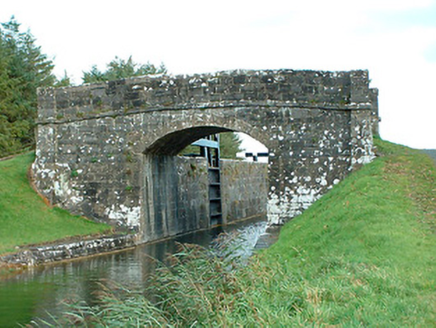 bridge1.5 mi
Explorer Tom Bridge in Lakingstown is just sitting there looking smug about its fancy stone work. I bet if it had three pints, it…
 Fairy fort / earthen ringfort in CorkanFairy fort / earthen ringfort · 1.6 mi
Explorer Tom Fairy fort / earthen ringfort in Corkan survives every storm by pretending it's made of solid rock when it’s really…
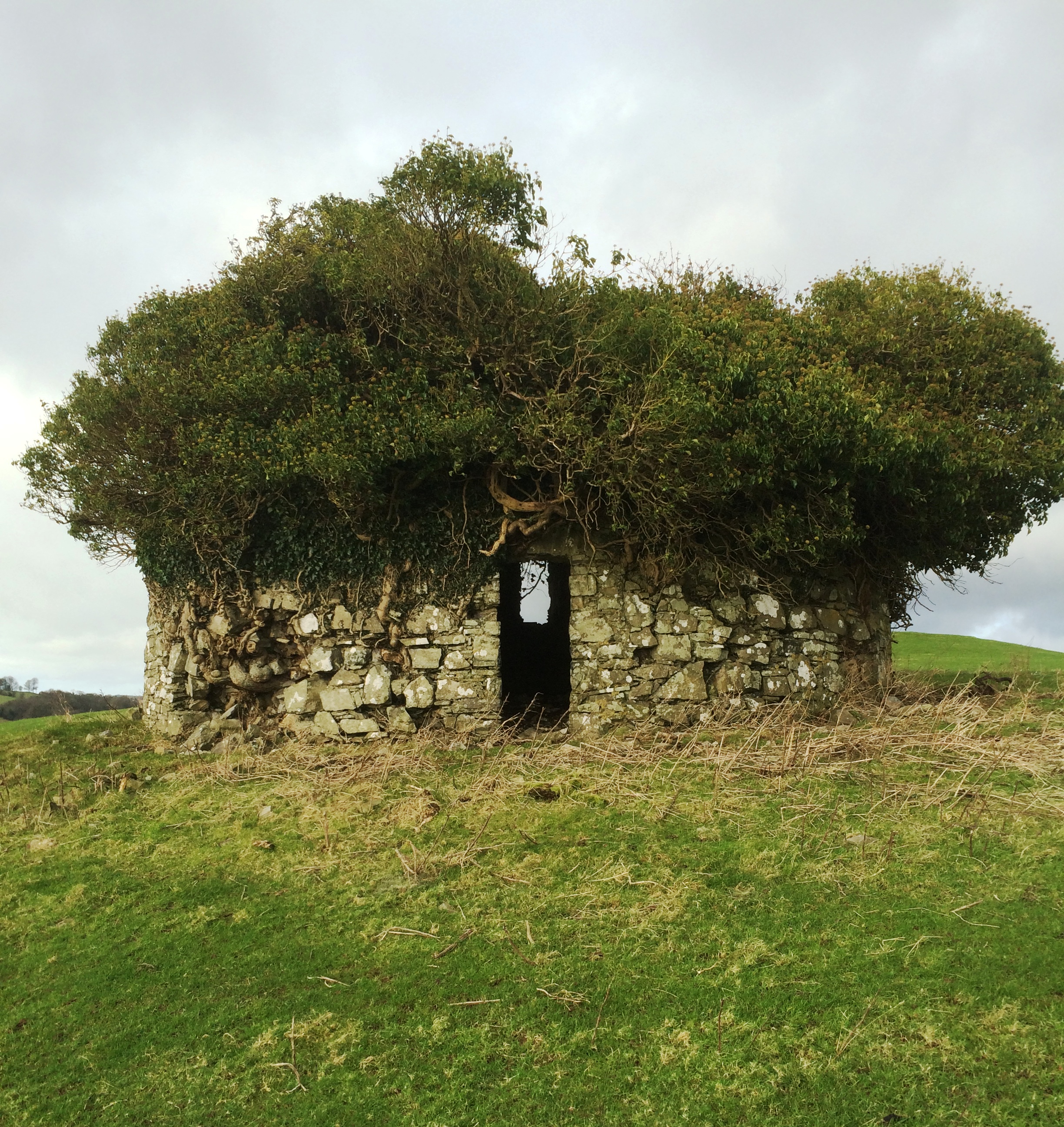 Fairy fort / earthen ringfort in LisnacaskFairy fort / earthen ringfort · 1.8 mi
Explorer Tom Fairy fort / earthen ringfort in Lisnacask is playing hard to get because a road cut straight through it like a pizza…
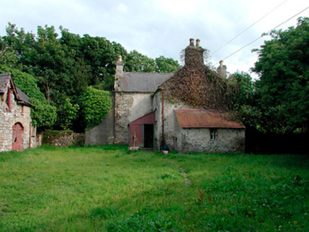 farm house, farmyard complex1.8 mi
Explorer Tom Farm house complex in Conlanstown would tell the place that replaced it to 'shut up and learn.' It’s got outbuildings…
More archaeology and monuments in County Westmeath · All of County Westmeath

What do you know about this place?Tap to add a comment or ask a question