What is recorded here
The following description is derived from both the published 'Archaeological Inventory of County Louth' (Dublin: Stationery Office, 1986) and the 'Archaeological Survey of County Louth' (Dublin: Stationery Office, 1991). In certain instances the entries have been revised and updated in the light of recent research.
Date of upload/revision: 17 July 2007
Earth and stone bank extending in an arc from NNW-N-E-SE, possibly the remains of a ringfort.
The monument record does not grant public access. Check the route and ask the landowner before entering private land.
- What survives
- Recorded monument
Places near here
 St. Brigids StationPenitential station · 339 yd
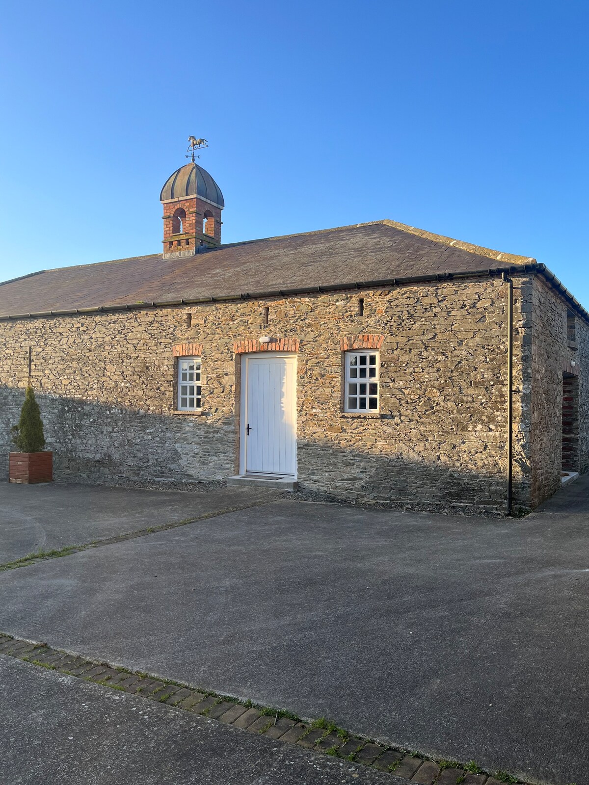 Enclosure in MonascreebeEnclosure · 666 yd
 MonascreebeMountain / peak · 857 yd
 Faughart MoundCastle, motte · 960 yd
 CrossCross, High cross · 1093 yd
 Church (in ruins)Church · 1132 yd
 Raskeagh FortCastle, motte and bailey · 1201 yd
 SlievenaboleaMountain / peak · 1494 yd
 Battle of FaughartMajor battlefield · 1.0 mi
 Moyry CastleCastle · 1.1 mi
 KILNASAGGART INSCRIBED PILLAR STONE & CEMETERY with 6 CROSS-CARVED STONES: CELL NA SACART in EdenappaKILNASAGGART INSCRIBED PILLAR STONE & CEMETERY with 6 CROSS-CARVED STONES: CELL NA SACART · 1.4 mi
 Ring of Gullion Way - Section 3Walking route · 1.6 mi