
What is recorded here
From the National Monuments Service (Archaeological Survey of Ireland) record LI048-011
Places near here
Photo credits
- National Inventory of Architectural Heritage
- Maker not stated on source page, en.wikipedia.org
- Maker not stated on source page, www.gettyimages.ca
- Knockane GAA Club website; individual photographer not stated, www.knockane.com
- Kmcnamee, Wikimedia Commons · CC BY-SA 4.0
- Maker not stated on source page, www.dreamstime.com
 bridge834 yd
Explorer Tom Bridge in Ballinscaula would teach history by making you cross it barefoot to learn humility. It’s got rusticated…
 Staker Wallace GAA pitchGAA ground · 1349 yd
 Knocktoran HouseGate lodge · 1.6 mi
Explorer Tom Knocktoran House is run by a matchmaker who pairs off the timber sash windows with the render detailing for profit.…
 (Site of) ChurchChurch · 1.6 mi
Explorer Tom Church in Balline is hiding a treasure chest that is definitely just an old biscuit tin. St. Molua’s Well is right…
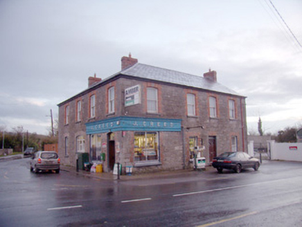 J. CreedHouse · 1.8 mi
Explorer Tom J. Creed in Knocktoran has strong opinions on modern buildings, mostly that they look like cardboard boxes with no…
 Bosnetstown VillaHouse · 2.6 mi
Explorer Tom Bosnetstown Villa is being claimed by a local who says he invented symmetry himself. He swears the chimneys were his…
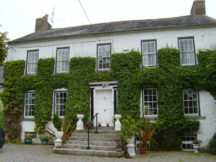 Spring LodgeCountry house · 3.5 mi
Explorer Tom Spring Lodge in Kilfinnane is planning retirement by turning into a very fancy garden shed for the local cats. It has…
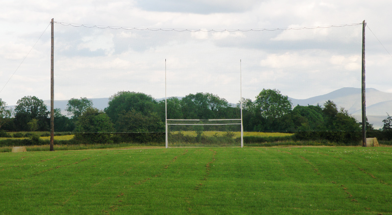 Knockainey GAA pitchGAA ground · 4.6 mi
 Bruff GAA pitchGAA ground · 5.1 miCastletown/Ballyagran GAA pitchGAA ground · 12 mi
 Standing stone in PoulavareStanding stone · 20 mi
Explorer Tom Standing stone in Poulavare was recorded by Bowman in 1934 as being nearly four feet high. But nobody knows the exact…
 Castle (Site of)Castle, unclassified · 23 mi
Explorer Tom Castle in Curragh is in a rivalry with its more famous namesake across the county, standing on the Allow River bank…
More archaeology and monuments in County Limerick · All of County Limerick

What do you know about this place?Tap to add a comment or ask a question