
What is recorded here
From the National Monuments Service (Archaeological Survey of Ireland) record KD024-070
Places near here
Photo credits
- Maker not stated on source page, monumentalireland.ie
- Maker not stated on source page, voyage.supersportgeo.de
- Maker not stated on source page, curiousireland.ie
- Maker not stated on source page, www.pinterest.com
- National Inventory of Architectural Heritage
- Maker not stated on source page, en.wikipedia.org
- Mega Phil, Wikimedia Commons · CC BY-SA 4.0
- Sarah777 at English Wikipedia, Wikimedia Commons · Public domain
- Mike Searle, Geograph · CC BY-SA 2.0
- Maker not stated on source page, au.pinterest.com
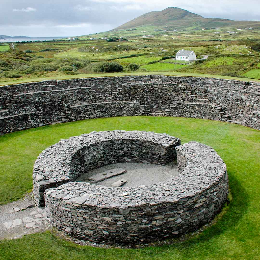 Fairy fort / earthen ringfort in Oldtown (carnalway Ed)Fairy fort / earthen ringfort · 579 yd
Explorer Tom Fairy fort / earthen ringfort in Oldtown would order chips with extra gravy and pretend it’s a medieval feast. It sits…
 CastleCastle, unclassified · 841 yd
Explorer Tom Castle in Oldtown (carnalway Ed) has no stonework left, just a very confident story from 1960. Its family tree is…
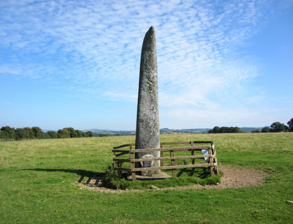 Long StoneStanding stone · 1.4 mi
Explorer Tom Long Stone in Cradockstown West has had more names than a reality TV star, but it still looks like a confused pillar.…
 Naas Workhouse CemeteryPark · 1.7 mi
Explorer Tom Naas Workhouse Cemetery in Kildare describes itself as 'a very exclusive club for people who left things a bit too…
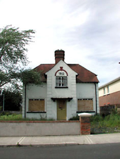 Ballycane HouseHouse · 1.8 mi
Explorer Tom Ballycane House in Naas East is why map makers got it wrong; it looks bigger than it actually is. That stout red brick…
 Cist in Punchestown GreatCist · 1.8 mi
Explorer Tom Cist in Punchestown Great was found next to a fallen stone and only held a pig heel bone. The archaeologists were…
 Punchestown LongstoneArchaeological place · 1.8 mi
Explorer Tom Punchestown Longstone bragges about surviving a storm where the wind tried to push it over but failed because of pure…
 Naas General HospitalWorkhouse · 1.9 mi
Explorer Tom Naas General Hospital was originally a workhouse, so it’s just a hospital that remembers how to be mean about its bread…
 Castle RagCastle, tower house · 1.9 mi
Explorer Tom Castle Rag in Jigginstown, County Kildare does the tango when nobody is watching from the gatehouse. It’s tiny enough…
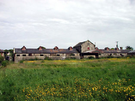 kennels1.9 mi
Explorer Tom When nobody's looking, Kennels in Jigginstown probably lets the imaginary hounds run wild in the courtyard. It was…
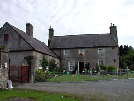 Jigginstown VillaHouse · 1.9 mi
Explorer Tom Jigginstown Villa is the only house in County Kildare that the seagulls respect. They land on the roof to gossip about…
 Inscribed stone in Naas EastInscribed stone · 2.0 mi
Explorer Tom Inscribed stone in Naas East is a slab that jumped the ship from 1600 to 1719 and vanished entirely. It’s basically the…
More archaeology and monuments in County Kildare · All of County Kildare

What do you know about this place?Tap to add a comment or ask a question