
What is recorded here
In the farm yard of Killashee House which stands c. 300m to the NW, on level ground near the S foot of a low, N-S pasture ridge. A medieval church (KD024-003002-) and graveyard (KD024-003004-) on a possible Early Christian site (KD024-003005-) stands c. 60m to the WSW. In 1837 according to the OSL (Herity 2002, 59 (173)) 'A few years ago an old Castle stood near the Round Tower, but it has been thrown down; the stones of it are yet to be seen'. The 'Round Tower' mentioned above is actually a medieval church tower. No visible surface traces survive.
Compiled by: Gearóid Conroy
Date of upload: 7 June 2012
A local castle; wider significance not recorded.
The monument record does not grant public access. Check the route and ask the landowner before entering private land.
- What survives
- Recorded monument
Places near here
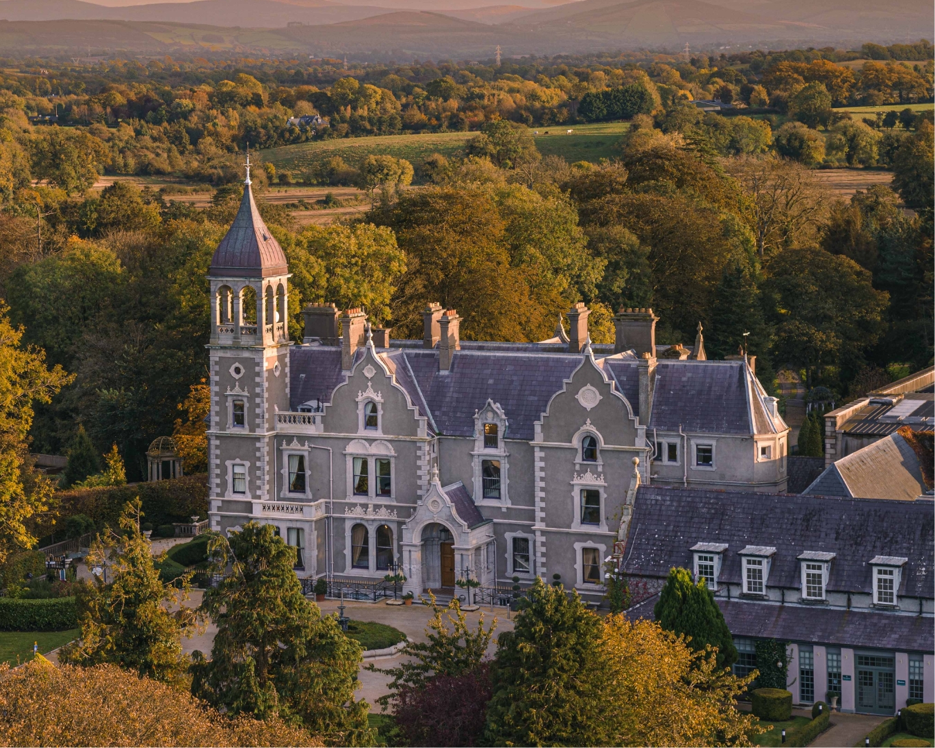 Church in Killashee (killashee Ed)Church · 62 yd
 St Patricks WellHoly well · 338 yd
 Enclosure in Killashee (killashee Ed)Enclosure · 440 yd
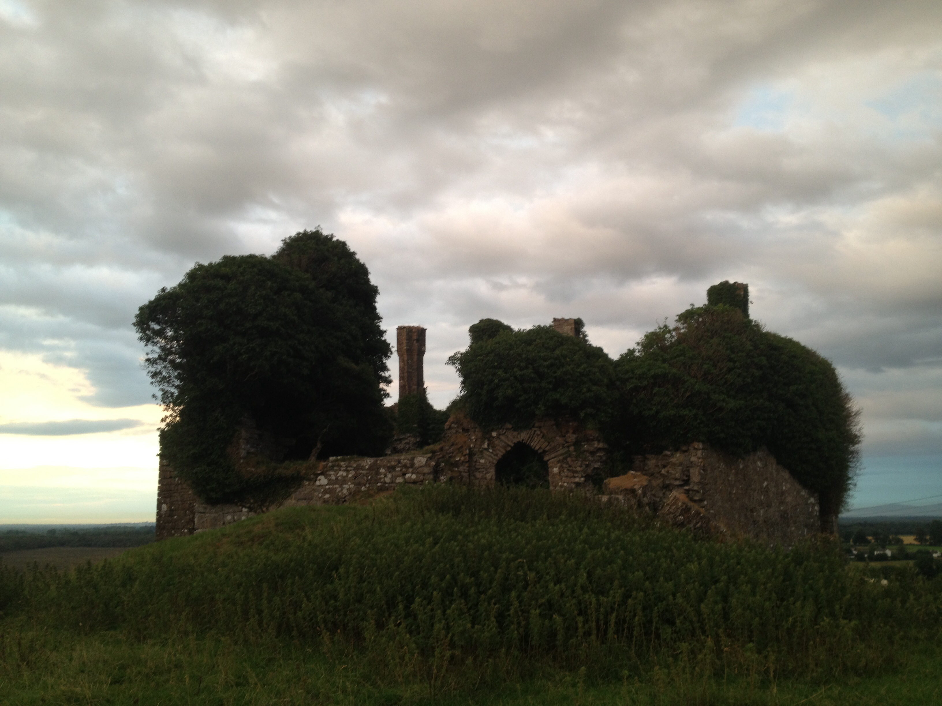 CastleCastle, unclassified · 1537 yd
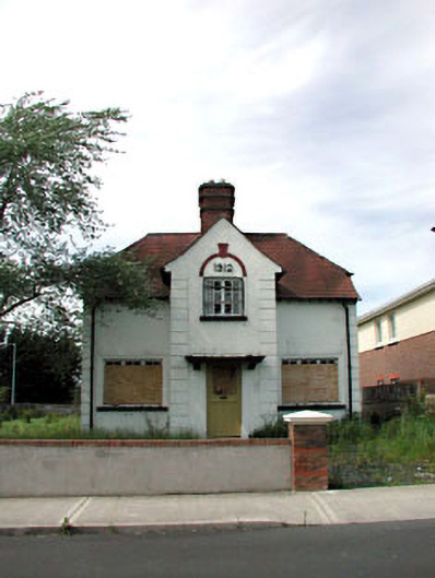 Ballycane Househouse · 1.6 mi
 South Moat, Ordnance Ground, Fair GreenCastle, motte · 1.7 mi
 Poplar SquarePicnic place · 2.1 mi
 Sillagh Bog WoodForest · 2.3 mi
 Monread District Park WoodsWood · 3.0 mi
 Museum of MotorsportMuseum · 5.5 mi
 Cupidstown HillMountain / peak · 7.7 mi
 OldcourtMemorial · 8.4 mi
Other information
Photo: Credit not shown in the picture search · Rights wording not checked; contact us if this picture should be removed