
What is recorded here
On a W-facing pasture slope. Described (pers. comm. M. Byrne) as a partially overgrown, sub-circular area (c. 32m E-W; c. 30m N-S) defined by an earthen bank (av. H 0.4m) which is incorporated into a field boundary along its northern arc. No visible entrance or fosse. The interior is flat, slopes gently W, and the S-half contains a number of trees. Known locally as 'Piper's Hill Fort'.
Compiled by: Gearóid Conroy
Date of upload: 12 July 2012
A local fairy fort (ringfort/rath); wider significance not recorded.
The monument record does not grant public access. Check the route and ask the landowner before entering private land.
- What survives
- Recorded monument
Places near here
 St Patricks WellHoly well · 103 yd
 Site of CastleCastle, unclassified · 440 yd
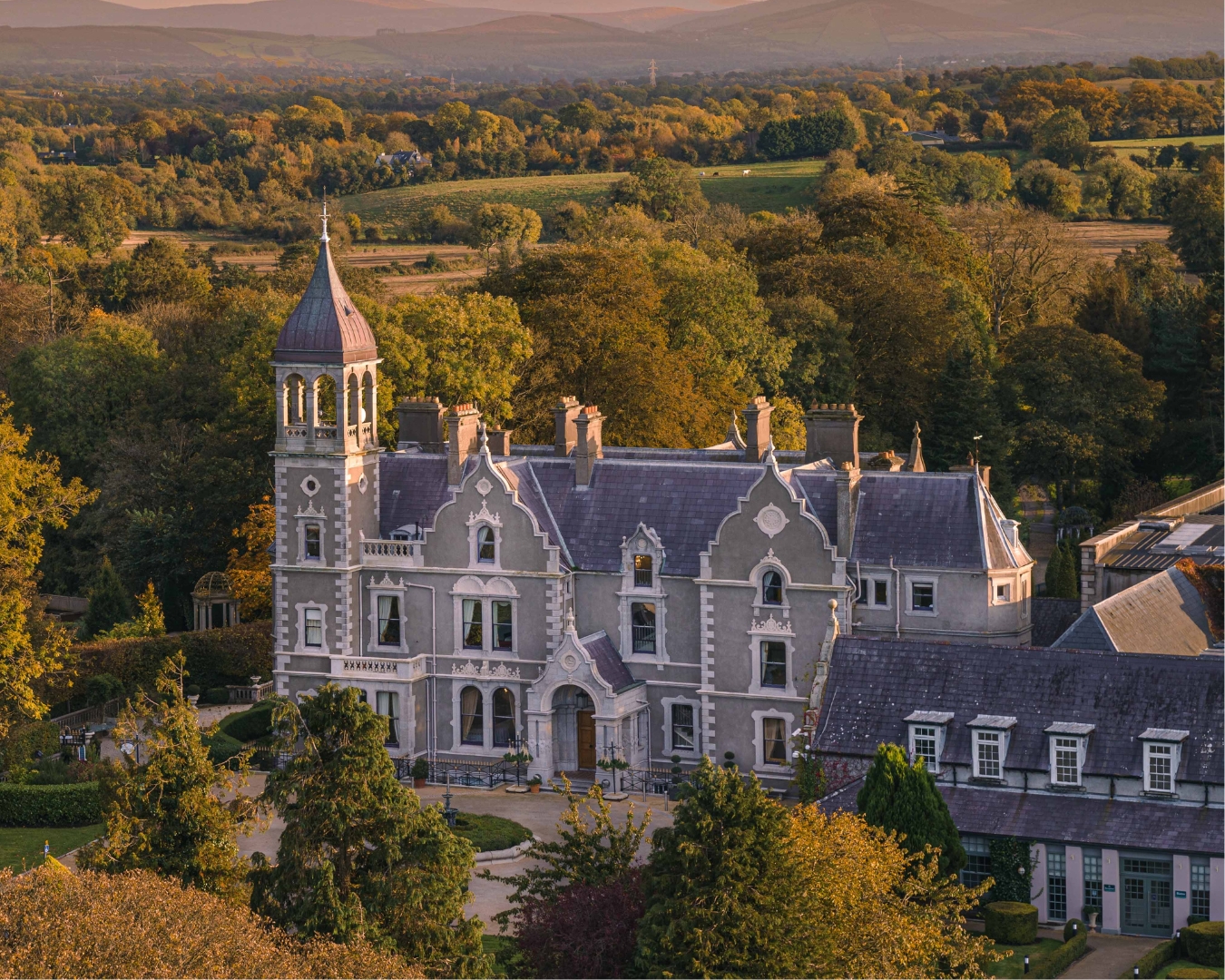 Church in Killashee (killashee Ed)Church · 496 yd
 Enclosure in BluebellEnclosure · 1530 yd
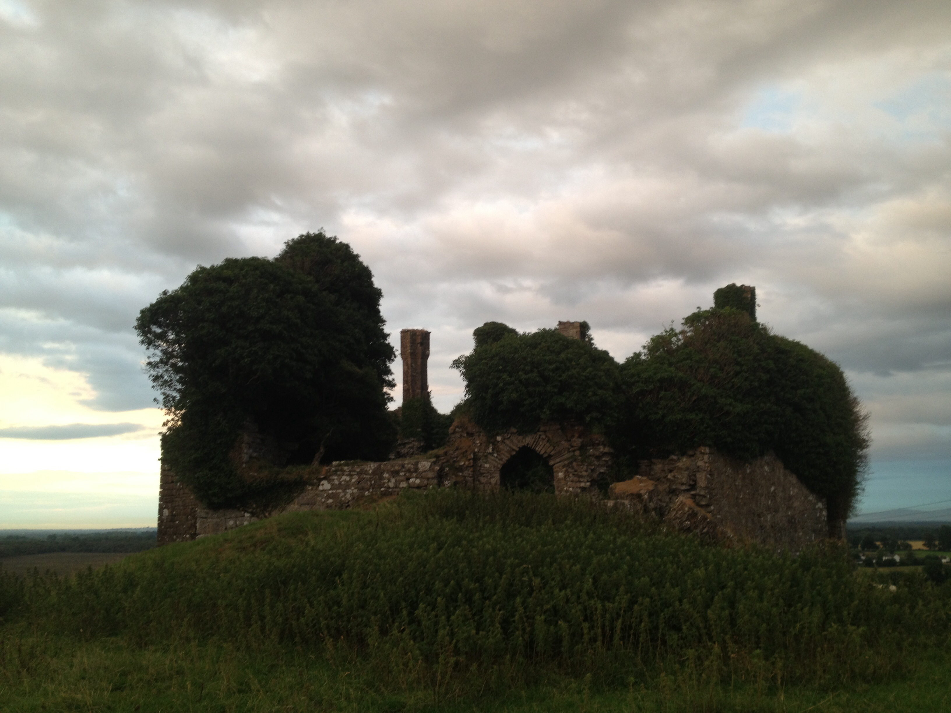 CastleCastle, unclassified · 1.1 mi
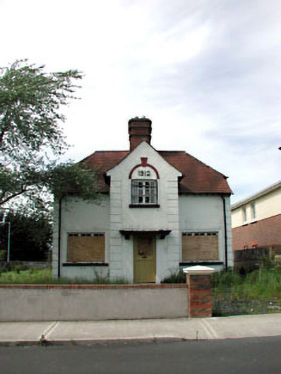 Ballycane Househouse · 1.5 mi
 Poplar SquarePicnic place · 2.1 mi
 Sillagh Bog WoodForest · 2.2 mi
 Monread District Park WoodsWood · 2.9 mi
 Museum of MotorsportMuseum · 5.7 mi
 Cupidstown HillMountain / peak · 7.5 mi
 OldcourtMemorial · 8.1 mi
Other information
Photo: Credit not shown in the picture search · Rights wording not checked; contact us if this picture should be removed