
What is recorded here
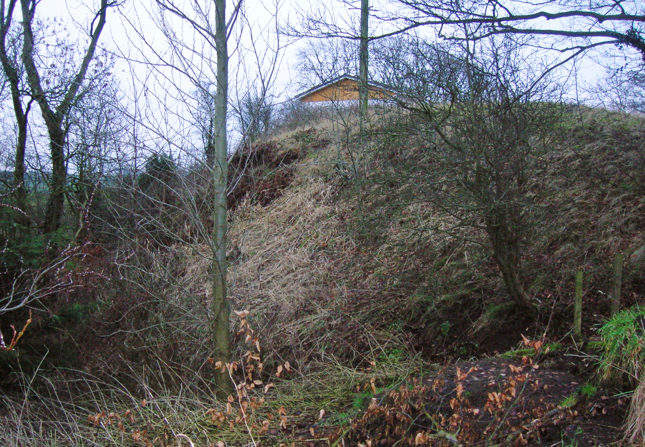
South Moat rose as a large broken hillock on the Naas Fairgreen, perhaps an old rath or square fort, before soldiers and developers erased it. The earth swallowed human ambition twice, first under barracks and later under a swimming pool, leaving only a landscaped scar where memory once stood.
The 'South Moat' stood at the S end of Naas, c. 550m almost due S of the 'North Moat' (KD019-030009-). The OSL (Herity 2002, 55 (161)) record, 'The South Moat does not present the form of a Dun. It is, however, a very large hillock of earth, broken down and encroached upon in different ways, standing in Naas Fairgreen. It is said that the barracks of Naas stood on it, before the present barracks were erected. I [T. O'Conor] think this South Moat a modern one … .' However, according to Bradley et al. (1986 vol. 4, 371-2), de Burgh (1891-5, 323) described it as an 'old rath' and noted a reference to it in 1681 as a 'square fort'. It was apparently levelled c. 1900 and the site is now landscaped. In 2001, archaeological testing (Licence no. 01E1169: www.excavations.ie) at the proposed site of a swimming-pool development immediately to the E revealed material of archaeological potential (KD019-030051-).
Compiled by: Gearóid Conroy
Date of upload: 10 June 2011
The monument record does not grant public access. Check the route and ask the landowner before entering private land.
- What survives
- Recorded monument
Places near here
 Naas General Hospitalworkhouse · 193 yd
 Foxeshouse · 261 yd
 Not indciatedTown defences · 524 yd
 CastleCastle, tower house · 529 yd
 Site of Black CastleCastle, unclassified · 609 yd
 North MoteArchaeological place · 635 yd
 Poplar SquarePicnic place · 740 yd
 Monread District Park WoodsWood · 1.2 mi
 Naas ParkWood · 1.3 mi
 Museum of MotorsportMuseum · 4.4 mi
 Cupidstown HillMountain / peak · 7.1 mi
 Saggart HillMountain / peak · 8.0 mi
Other information
Photo: Credit not shown in the picture search · Rights wording not checked; contact us if this picture should be removed