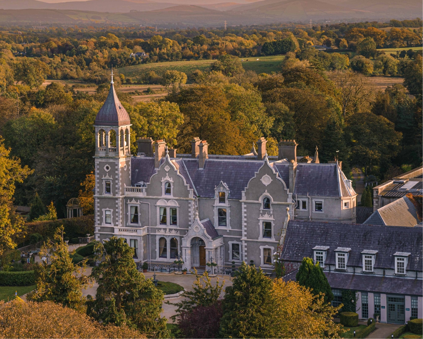
What is recorded here
To the S of centre in a very overgrown graveyard (KD024-003004-), on the site of a medieval church (KD024-003002-) and possible early ecclesiastical foundation (KD024-003005-). Barrow (1972, 187) quotes an earlier Beauford article (1790, 75-85) which describes this building as '"an 18th century rebuilding by the Board of First Fruits of an earlier church destroyed in the "wars" and left in ruins for several years." Barrow (ibid.) also records that this church was deconsecrated in 1965, when the roof and fittings were removed and the doors and windows were blocked up with concrete blocks. The ruin survives, but is inaccessible and overgrown with ivy. It occupies the nave area of the earlier, medieval church (KD024-003002-) the surviving tower of which it abuts at W.
Compiled by: Gearóid Conroy
Date of upload: 07 June 2012
A local church or high cross; wider significance not recorded.
The monument record does not grant public access. Check the route and ask the landowner before entering private land.
- What survives
- Recorded monument
Places near here
 Site of CastleCastle, unclassified · 62 yd
 St Patricks WellHoly well · 394 yd
 Enclosure in Killashee (killashee Ed)Enclosure · 496 yd
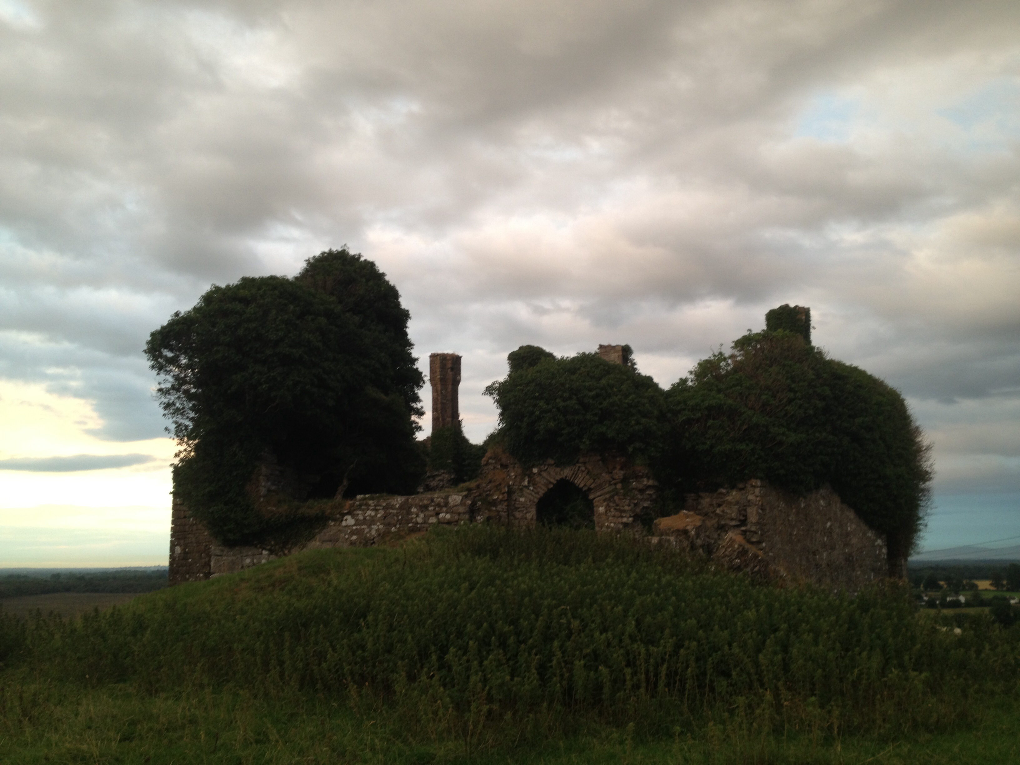 CastleCastle, unclassified · 1513 yd
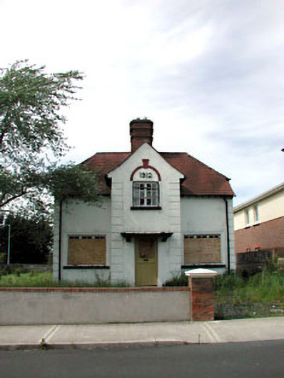 Ballycane Househouse · 1.6 mi
 Naas General Hospitalworkhouse · 1.7 mi
 Poplar SquarePicnic place · 2.2 mi
 Sillagh Bog WoodForest · 2.3 mi
 Monread District Park WoodsWood · 3.0 mi
 Museum of MotorsportMuseum · 5.5 mi
 Cupidstown HillMountain / peak · 7.8 mi
 OldcourtMemorial · 8.4 mi
Other information
Photo: Credit not shown in the picture search · Rights wording not checked; contact us if this picture should be removed