What is recorded here
Situated on a NE-facing slope in lush meadow. Indicated as a circular platform-type earthwork on the 1st ed. (1840) OS 6-inch map with a field boundary abutting the NW quadrant. Not depicted on the subsequent 1901-05 ed. No visible trace at ground level.
The above description is derived from 'The Archaeological Inventory of County Tipperary. Vol. 1 - North Tipperary' compiled by Jean Farrelly and Caimin O'Brien (Dublin: Stationery Office, 2002). In certain instances the entries have been revised and updated in the light of recent research.
Date of upload/revision: 16 January 2012
This remains an important historical record, but the official description says the monument is no longer visible or has been destroyed. The monument record does not grant public access. Check the route and ask the landowner before entering private land.
- What survives
- No visible remains or recorded as destroyed
Places near here
 Enclosure in KilladanganEnclosure · 150 yd
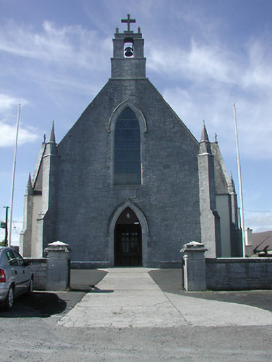 Saint Patrick's Catholic Churchchurch/chapel · 666 yd
 IndicatedFairy fort / stone ringfort · 1056 yd
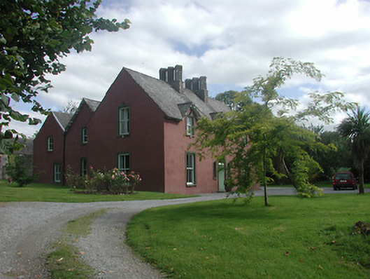 Ballycraggan Househouse · 1182 yd
 Knigh HillMountain / peak · 1649 yd
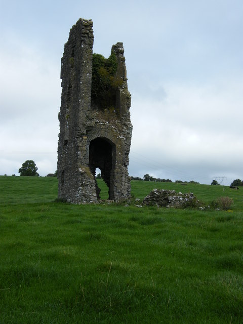 Knigh CastleCastle · 1.5 mi
 Knigh Castle (in ruins)Castle, tower house · 1.5 mi
 Goose IslandIslet · 1.5 mi
 Dromineer BayBay · 2.0 mi
 Connaught BayBay · 2.3 mi
 Buggane IslandIslet · 2.9 mi
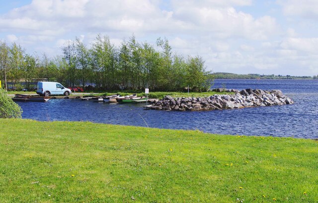 Lough DergNationally known place · 3.2 mi