
What is recorded here
In tillage field. Cropmark of circular-shaped area visible on Apple Maps aerial imagery.
See attached image from Apple Maps aerial coverage showing cropmark
Compiled by: Caimin O'Brien based on details provided by Jean-Charles Caillère
Date of upload: 20 December 2022
The monument record does not grant public access. Check the route and ask the landowner before entering private land.
- What survives
- Recorded monument
Places near here
 St. John's WellSpring · 353 yd
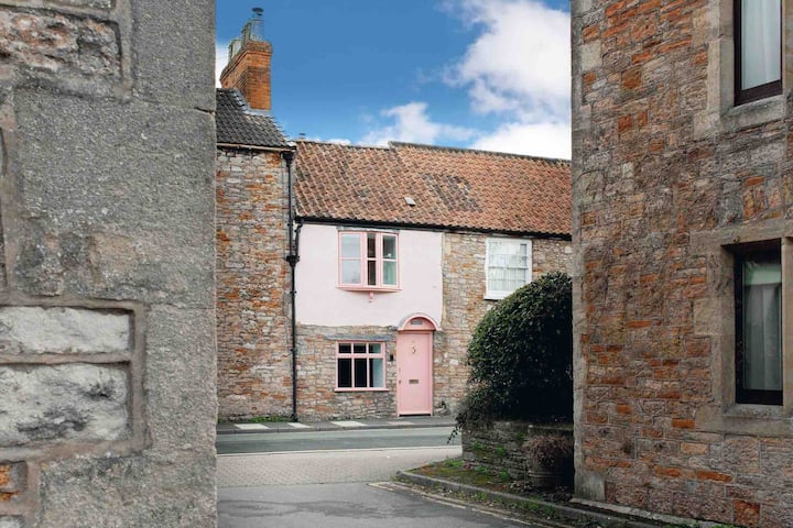 St. Johns WellHoly well · 419 yd
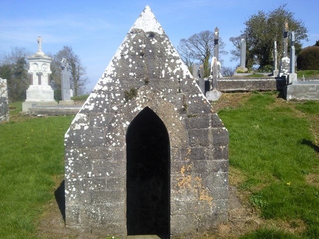 St. Michaels WellHoly well · 480 yd
 Church (in ruins)Church · 505 yd
 graveyard/cemeterygraveyard/cemetery · 517 yd
 Cornstown HouseHeritage attraction · 2.2 mi
 Wooly Ward's FarmHeritage attraction · 2.5 mi
 St Kenny's WellSpring · 2.7 mi
 Naul HillMountain / peak · 2.9 mi
 Hollywood GreatMountain / peak · 3.2 mi
 Newtown GorseWood · 3.5 mi
 Bawn in KilleglandBawn · 3.6 mi
Other information
Photo: Credit not shown in the picture search · Rights wording not checked; contact us if this picture should be removed