What is recorded here
On wet flat pasture abutting the Morningstar River to the N and a water filled field drain on the SW which marks the townland boundary with Garbally. Ring-barrow cemetery (LI031-160001/3-) located 250m to SE. Not depicted on historic OSi maps. It is visible on the OSi orthoimages taken 2005-12 and on the Digital Globe orthoimages taken 2011-2013 as a curving rectangular-shaped enclosure or small field (ext. dims. 39m NE-SW; 56m NW-SE). Identified by Bruff aerial photographic survey in 1986 (Bruff 56: AP 5/2059) as part of a curvilinear enclosure. The site is visible as a relic field enclosure on Google Earth orthoimages taken 05/04/2006 and 14/09/2019 and may not be an antiquity. Could be a water channel associated with land-reclamation works of post-1700 date.
See attached Bruff survey image showing the site labelled Bruff 56 and Google Earth orthoimages
Compiled by: Edmond O’Donovan
Date of upload: 7 October 2020
The monument record does not grant public access. Check the route and ask the landowner before entering private land.
- What survives
- Recorded monument
Places near here
 BarrowBarrow, ditch barrow · 293 yd
 Burial GroundGraveyard · 999 yd
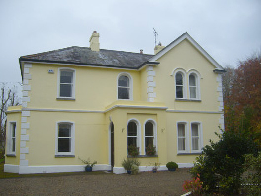 Cherbury Housesurgery/clinic · 1066 yd
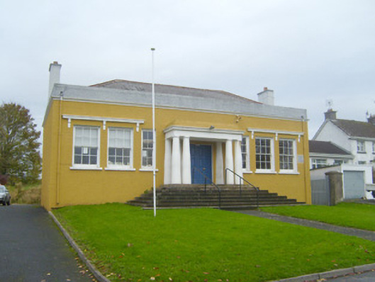 Bruff Courthousecourt house · 1168 yd
 Castle (in ruins)Castle, unclassified · 1264 yd
 (Site of) Tullabracky CastleCastle, unclassified · 1707 yd
 Lough GurVisitor information · 2.6 mi
 Grange Stone CircleArchaeological place · 2.6 mi
 KnockainyMountain / peak · 3.7 mi
 Flat cemetery in Knockainy WestFlat cemetery · 4.6 mi
 European ashEuropean ash · 5.9 mi
 St Patrick's WellSpring · 7.5 mi