
What is recorded here
On flat reclaimed pasture, 160m SW of Morningstar River, immediately E of field drain which marks townland boundary with Garbally. A possible earthwork (LI031-160003-) lies immediately to SE with possible ditch-barrow (LI031-160002-) 20m to E. Identified by the Bruff aerial photographic survey in 1986 (Bruff 57; AP5/2059) as a small circular cropmark (diam. c. 9m) of a possible ditch-barrow. Faint trace of cropmark visible on OSi orthophoto taken 2005-2012, and on Google Earth orthoimage taken 14/09/2019.
See attached Bruff survey image showing cropmark labelled Bruff 57 and Google Earth orthoimages
Compiled by: Fiona Rooney
Date of upload: 22 March 2021
Ditch barrow, likely dating to the Early Bronze Age. This type of monument is significant as it reflects early funerary practices and landscape use in the region.
The monument record does not grant public access. Check the route and ask the landowner before entering private land.
- What survives
- Recorded monument
Places near here
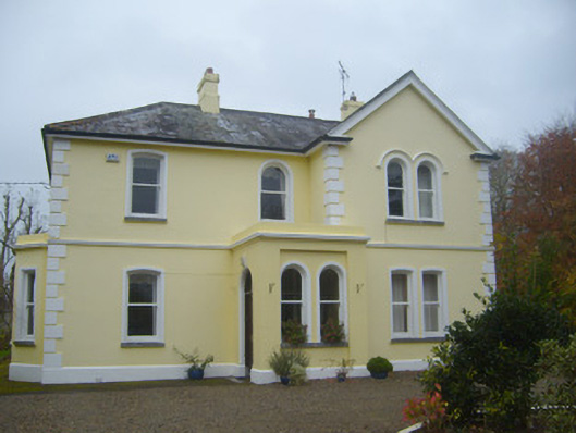 Cherbury Housesurgery/clinic · 782 yd
 Burial GroundGraveyard · 882 yd
 Enclosure in Garbally (coshma By.)Enclosure · 892 yd
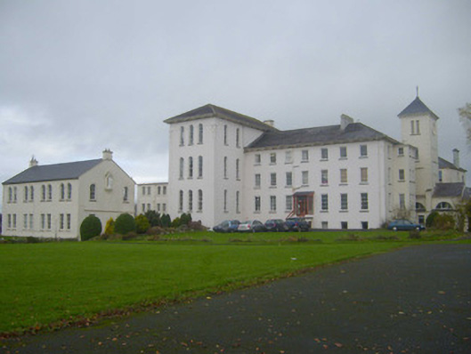 Saint Mary's Conventconvent/nunnery · 953 yd
 Castle (in ruins)Castle, unclassified · 992 yd
 (Site of) Tullabracky CastleCastle, unclassified · 1.1 mi
 Lough GurVisitor information · 2.7 mi
 Grange Stone CircleArchaeological place · 2.7 mi
 KnockainyMountain / peak · 3.6 mi
 Flat cemetery in Knockainy WestFlat cemetery · 4.5 mi
 European ashEuropean ash · 6.1 mi
 St Patrick's WellSpring · 7.4 mi
Other information
Photo: Credit not shown in the picture search · Rights wording not checked; contact us if this picture should be removed