What is recorded here
In pasture, on a natural ridge. Not marked on any edition of the OS 6-inch map. A possible earthwork of uncertain form is visible in an aerial photograph (ACAP, V 197/164-5) at this location (SMR (1989) file). There is a house built at the location shown and there are no surface remains of this potential monument surviving.
Compiled by: Archaeological Survey Unit, UCC with revisions by Patrick F. O'Donovan and Paul Walsh
Date of upload: 20 June 2011
The monument record does not grant public access. Check the route and ask the landowner before entering private land.
- What survives
- Recorded monument
Places near here
 Enclosure in BelladrihidEnclosure · 81 yd
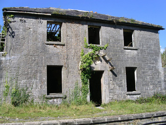 Ballysadare Railway Stationstation master's house · 523 yd
 Ballydrehid Br.Bridge · 556 yd
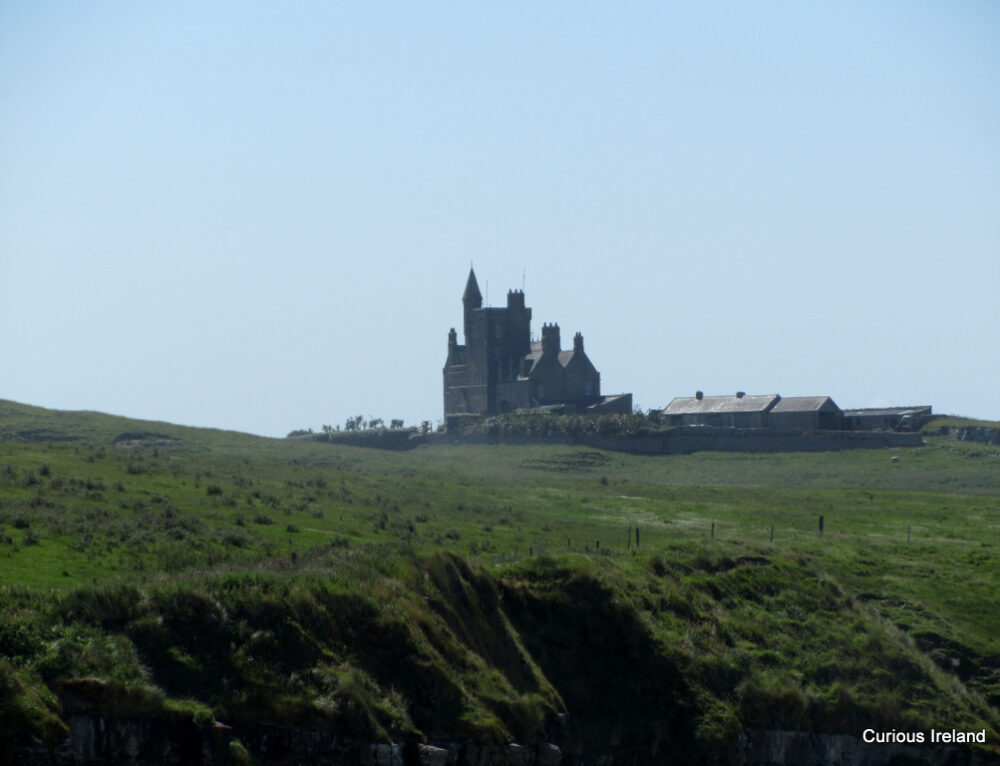 CastleCastle, unclassified · 610 yd
 Ecclesiastical enclosure in KilboglashyEcclesiastical enclosure · 1248 yd
 Union RockForest · 1.3 mi
 Battle of Collooneybattle · 1.8 mi
 Teeling MonumentMemorial · 1.8 mi
 BunreecoillMountain / peak · 2.0 mi
 SlievewardMountain / peak · 2.1 mi
 European ashEuropean ash · 2.8 mi
 Tobernalt Holy WellSpring · 2.8 mi