
What is recorded here
From the National Monuments Service (Archaeological Survey of Ireland) record CW011-003
Places near here
Photo credits
- kevin higgins, Geograph · CC BY-SA 2.0
- National Inventory of Architectural Heritage
- Maker not stated on source page, www.pinterest.com
- A.-K. D., Wikimedia Commons · CC BY-SA 4.0
- Maker not stated on source page, www.alamy.com
- Maker not stated on source page, www.airbnb.ca
- Maker not stated on source page, ru.pinterest.com
- Rosser1954, Wikimedia Commons · CC BY-SA 4.0
- Andy Ryan / 1803 Productions, credited by Kilkenny GAA, kilkennygaa.ie
 Black BridgeBridge · 307 yd
Explorer Tom Black Bridge would say 'I’m reliable' in a job interview, then miss the deadline. It’s low-slung, stone-built, and…
 Millfall HouseMiller's house · 933 yd
Explorer Tom Millfall House in Coolcullen is planning to retire to the seaside, but it forgot how to pack its flour bags. It looks…
 Coolcullen Church (Mothell)Church/chapel · 1.4 mi
Explorer Tom Coolcullen Church (Mothell) was likely built because two lads bet on who could build the ugliest tower in Kilkenny. The…
 Coolcullen GraveyardGraveyard · 1.4 mi
Explorer Tom Coolcullen Graveyard is doing its best impression of a sleeping giant, but I suspect it's just dreaming about a free…
 Glebe HouseRectory/glebe/vicarage/curate's house · 1.5 mi
Explorer Tom Glebe House in Coolcullen is deeply suspicious of the postman, believing every letter is a bill for sins not yet…
 Burn's BridgeBridge · 1.5 mi
Explorer Tom Burn's Bridge nearly got famous when emigrants to Canada used it as a departure point. Now it just spans the Dinin…
 Mapped cemeteryCemetery · 1.6 mi
Explorer Tom Mapped cemetery in County Kilkenny sits next to where a love story went spectacularly wrong involving a stolen horse.…
 Coan West GraveyardGraveyard · 1.6 mi
Explorer Tom Coan West Graveyard in Kilkenny hosted a tragic love story where two people fell in love, broke up, and then died on…
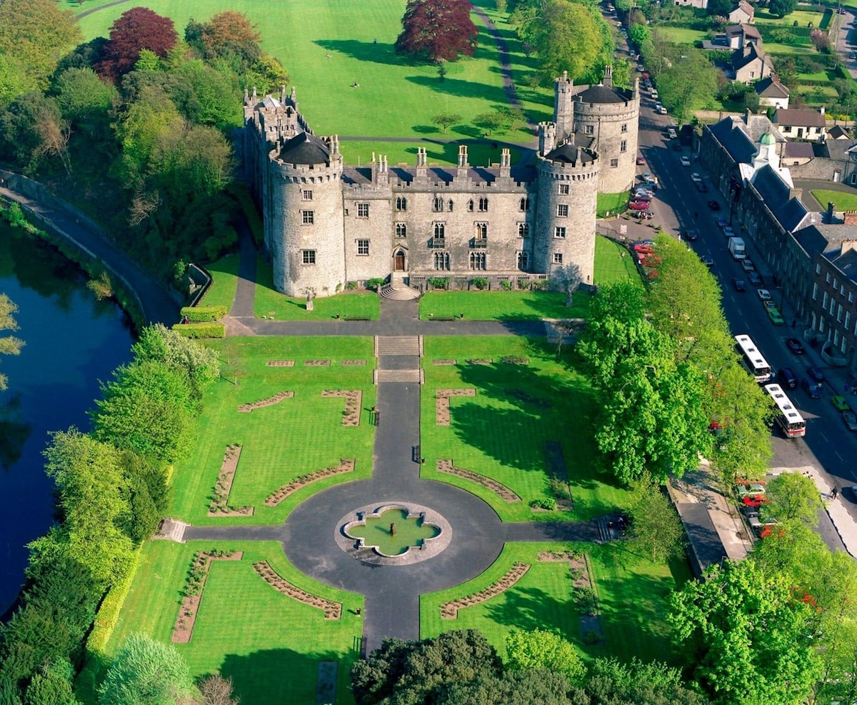 Site of Castle QuanCastle, unclassified · 1.7 mi
Explorer Tom Site of Castle Quan in Coan West would say 'I have excellent references' in a job interview. The castle is gone, but…
 Castle Quan (site of)Archaeological place · 1.7 mi
Explorer Tom Castle Quan in County Kilkenny got moved to the wrong spot by a very confused cartographer with too much whiskey. It’s…
 Gallows HillMountain / peak · 1.7 mi
Explorer Tom Gallows Hill in County Carlow claims to be a shortcut but actually makes you walk twice as far for the privilege. It’s…
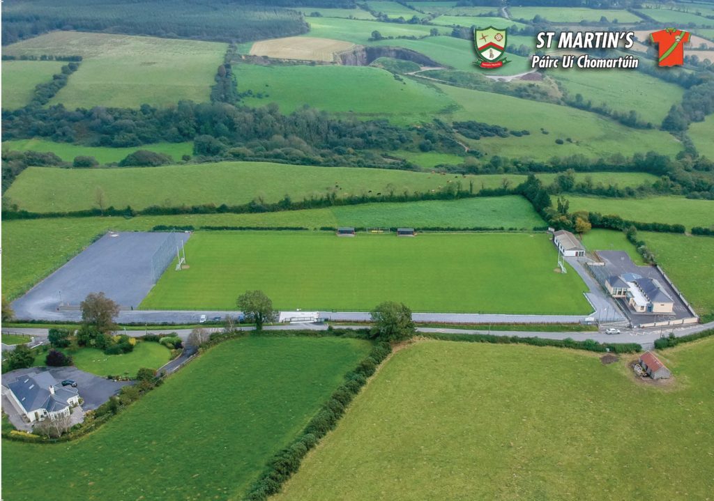 Páirc Uí Chomartúin, St. MartinsGAA ground · 1.7 mi
More archaeology and monuments in County Carlow · All of County Carlow

What do you know about this place?Tap to add a comment or ask a question