What is recorded here
Internal diam. 20.8m N-S, 23.85m E-W
Dunkilla Fort/Dún Coille: This rather overgrown bivallate rath is located on a prominent ridge with an excellent outlook in all directions. The S sector of its outer bank was levelled in the late 1970s, when the intervening fosse was also largely infilled. Elsewhere this bank averages 3.15m wide and 1.6m high above external ground level, which slopes steeply away from the NW sector. The surviving section of the fosse is 2.6m wide at base and occurs .7m below the outer bank. Trees grow along the crest of the inner bank and have contributed to its partial erosion and subsidence into the fosse. It rises to an external height of 4.9m, has a basal width of 5m and falls .75m to the interior. A 2.3m wide entrance gap occurs in the inner bank at E, where a causeway crosses the fosse. The interior of the rath is occupied by a series of cultivation ridges. The IFC Schools' Collection recorded the presence of two slabs in the rath's interior which reputedly covered an opening to a Man-made underground passage. Graves described this Man-made underground passage (KE100-019001-) as consisting of the 'usual underground passages leading into chambers' (1930, 74).
The above description is derived from A. O'Sullivan and J. Sheehan (compilers), 'The Iveragh peninsula: an archaeological survey of South Kerry'. Cork University Press (1996), no. 547. In certain instances the entries have been revised and updated in the light of recent research.
Date of upload: 29 July 2013
Dunkilla Fort (Dún Coille) is a likely early-medieval bivallate ringfort situated on a prominent ridge, suggesting strategic defensive or agricultural use. Local tradition associates such sites with fairy lore, and the name "Dún Coille" (Fort of the Wood) may hint at a historical or legendary connection to woodland spirits or ancient settlements.
The monument record does not grant public access. Check the route and ask the landowner before entering private land.
- What survives
- Recorded monument
Places near here
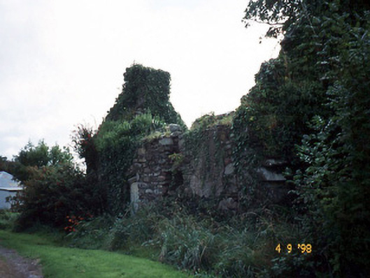 Tahilla Catholic Chapelchurch/chapel · 673 yd
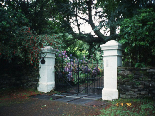 Glashnacree Househouse · 1010 yd
 Indicated (1895-6).Enclosure · 1246 yd
 BallynahaglishEcclesiastical enclosure · 1541 yd
 Rossdohan IslandIsland · 1.6 mi
 Rossmore IslandIsland · 1.8 mi
 Sneem Commemoration PlaqueMemorial · 2.7 mi
 De Gaulle MemorialMonument · 2.9 mi
 KnockateeMountain / peak · 3.8 mi
 Dereenavurrig HillMountain / peak · 3.9 mi
 Habitat of DerreeniesNature reserve · 4.3 mi
 Coral BeachBeach / strand · 4.4 mi